
Hide
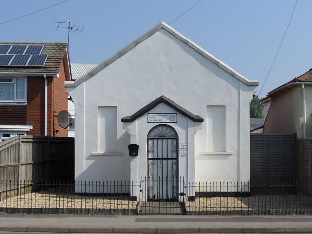
Chapel, Basingstoke
hide
Hide
Hide
Chapel,
Worting Road,
Basingstoke
Hampshire
Hide
The denomination of this chapel is not known. Also, it is not known when it opened or closed.
The chapel is now used as commercial premises.
It was located at SU6063251815 (Lat/Lon 51.262278, -1.132416). You can see this on maps provided by:
- OpenStreetMap
- Google Maps
- StreetMap (Current Ordnance Survey maps)
- Bing (was Multimap)
- Old Maps Online
- National Library of Scotland (Old Ordnance Survey maps)
- Vision of Britain (Click "Historical units & statistics" for administrative areas.)
- English Jurisdictions in 1851 (Unfortunately the LDS have removed the facility to enable us to specify a starting location, you will need to search yourself on their map.)
- Magic (Geographic information) (Click + on map if it doesn't show)
- GeoHack (Links to on-line maps and location specific services.)