
Hide
Careston
hide
Hide
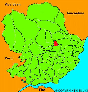
"Careston or Caraldston, a small parish in the county of Angus extending about 3 miles in length and 1 in breadth. The surface is beautiful and well cultivated with a gently slope from North to South; there are no rocks or hills. The soil is deep and fertile; and the banks of the rivers Southesk and Norin, are beautifully ornamented with various plantations. There are fed annually a considerable number of black cattle but very few sheep."
The Gazetteer of Scotland, W Chalmers, Dundee 1803.
Hide
| Careston Parish Church, Careston, Church of Scotland |
- The transcription of the section for Careston from the National Gazetteer (1868) provided by Colin Hinson.
- Ask for a calculation of the distance from Careston to another place.
You can see maps centred on OS grid reference NO537595 (Lat/Lon: 56.725098, -2.757876), Careston which are provided by:
- OpenStreetMap
- Google Maps
- StreetMap (Current Ordnance Survey maps)
- Bing (was Multimap)
- Old Maps Online
- National Library of Scotland (Old Ordnance Survey maps)
- Vision of Britain (Click "Historical units & statistics" for administrative areas.)
- Magic (Geographic information) (Click + on map if it doesn't show)
- GeoHack (Links to on-line maps and location specific services.)
- All places within the same township/parish shown on an Openstreetmap map.
- Nearby townships/parishes shown on an Openstreetmap map.
- Nearby places shown on an Openstreetmap map.