
Hide
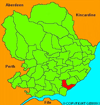
Panbride
hide
Hide
"Situated on the east coast, at the mouth of the Frith (sic) of Tay. It is about five and a half miles long, and two broad: the general appearance is flat, with a considerable declevity from the North to the Sea; the coast is flat and rocky, but has two open harbours at the East and West Havens, where small vessels may deliver their cargoes during the summer months. The soil varies considerably , being sandy on the coast, loam or clay in the middle, and muiry in its northern extremity. The parish is watered by a considerable stream, which runs at the bottom of a valley called Battie's Den, over which is thrown a high bridge, on the turnpike road from Dundee to Arbroath. There are several villages, viz. East and West Haven, Panbride, Skrine and Muirdrum; at the latter of which is a post office. In the northern part of the parishstands the house of Panmure, with its extensive enclosures and plantations, the property of the Hon W Ramsay Maule, but at present the residence of his brother the Hon Capt Ramsay."
The Gazetteer of Scotland, W Chalmers, Dundee 1803.
Hide
| Panbride Parish Church, Panbride, Church of Scotland |
| Panbride Parish Church, Panbride, Church of Scotland |
- The transcription of the section for Panbride from the National Gazetteer (1868) provided by Colin Hinson.
- Ask for a calculation of the distance from Panbride to another place.
You can see maps centred on OS grid reference NO569375 (Lat/Lon: 56.527935, -2.702619), Panbride which are provided by:
- OpenStreetMap
- Google Maps
- StreetMap (Current Ordnance Survey maps)
- Bing (was Multimap)
- Old Maps Online
- National Library of Scotland (Old Ordnance Survey maps)
- Vision of Britain (Click "Historical units & statistics" for administrative areas.)
- Magic (Geographic information) (Click + on map if it doesn't show)
- GeoHack (Links to on-line maps and location specific services.)
- All places within the same township/parish shown on an Openstreetmap map.
- Nearby townships/parishes shown on an Openstreetmap map.
- Nearby places shown on an Openstreetmap map.