
Hide
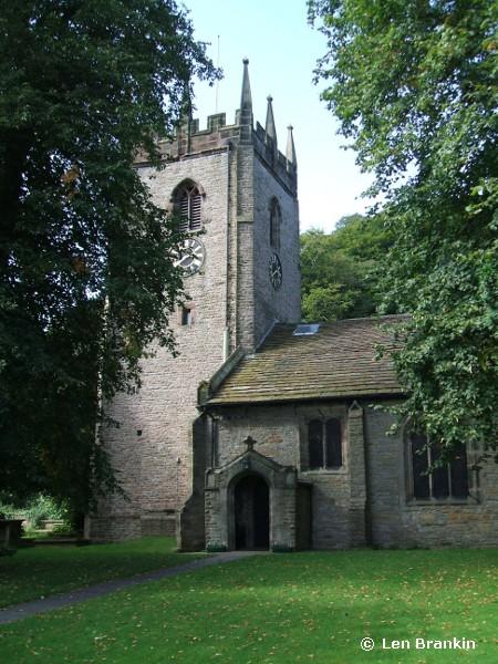
St Christopher, Pott Shrigley, Church of England
hide
Hide
Hide
St Christopher,
Shrigley Road,
Pott Shrigley
Hide
It was founded in 1630.
Church History
An ancient chapelry in the parish of Prestbury: St. Peter serving the township of Pott Shrigley, which became the district church in 1880. The boundaries of "The District Chapelry of Saint Christopher, Pott Shrigley" were described in the London Gazette on 14 May 1880:
"All that part of the said parish of Prestbury which is comprised within and is co-extensive with the limits of the township and ancient chapelry of Pott Shrigley"
Church Records
C = Christenings (Baptisms) ; M = Marriages ; B = Burials ; BTs = Bishop's Transcripts
| Original Registers | C 1630-1998 ; M 1685-1751, 1880-1984 ; B 1685-1956 — Cheshire Archives (P 38) C from 1998 ; M from 1984 ; B from 1956 — Church |
| Microfilm Copies | C 1630-1991 ; M 1685-1751, 1880-1941 ; B 1685-1956 — Cheshire Archives C 1630-1883 ; M 1685-1751 ; B 1685-1881 — Family History Society of Cheshire ; Manchester Archives & Local Studies ; Macclesfield Library |
| Bishop's Transcripts | 1679-80, 1692, 1696, 1732-1829, 1831-32, 1851 (microfilmed) — Cheshire Archives ; Family History Society of Cheshire |
| Copies and Indexes | C 1630-1730 ; M 1675-1729 ; B 1685-1812 — Family History Society of Cheshire (Macclesfield Group) C 1619-1883 — North Cheshire Family History Society M 1685-1751 — published in: Cheshire Parish Registers: Marriages, vol. 5 (Phillimore, 1914) M 1685-1751 — Boyd's Marriage Index and North & East Cheshire Marriage Index - may be viewable at subscription sites such as ancestry or findmypast M 1700-1750 (incomplete) — Bertram Merrell Marriage Index of Cheshire (1750-1836) M 1880-2007 — Cheshire BMD (CE:1072) B 1685-1956 — National Burial Index B 1685-1956 — published by North Cheshire Family History Society |
| Monumental Inscriptions | Published by North Cheshire Family History Society (edited by D. H. Way), 1983 |
It is located at SJ9442779175 (Lat/Lon 53.309482, -2.085094). You can see this on maps provided by:
- OpenStreetMap
- Google Maps
- StreetMap (Current Ordnance Survey maps)
- Bing (was Multimap)
- Old Maps Online
- National Library of Scotland (Old Ordnance Survey maps)
- Vision of Britain (Click "Historical units & statistics" for administrative areas.)
- English Jurisdictions in 1851 (Unfortunately the LDS have removed the facility to enable us to specify a starting location, you will need to search yourself on their map.)
- Magic (Geographic information) (Click + on map if it doesn't show)
- GeoHack (Links to on-line maps and location specific services.)