Hide
St Luke, Chadderton, Church of England
hide
Hide
Hide
St Luke,
Buckley St,
Chadderton
Lancashire
Hide
It was founded in 1875 and closed in 2008.
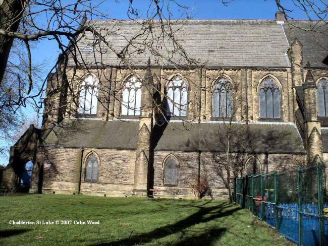
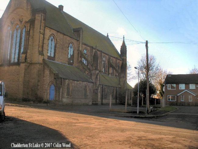
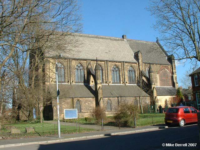
The parish was created an ecclesistical conventional district in 1875. Land was given by the Hamilton Family of Springbank, Chadderton for the building of a new Church. The foundation stone was laid 2nd November 1882 Church (incomplete) 16th November 1888. It was intended that the Church should have a Tower & Spire reaching a height of 183ft and an octagonal shaped Choir Vestry & Library both of which were never built due to lack of funds. There were also plans for a large Organ Chamber high up on the south side of the Chancel which was also never built although a large stone arch gives an indication as to its position and size.
This site provides historical information about churches, other places of worship and cemeteries. It has no connection with the churches etc. themselves. For current information you should contact them directly.
- OpenStreetMap
- Google Maps
- StreetMap (Current Ordnance Survey maps)
- Bing (was Multimap)
- Old Maps Online
- National Library of Scotland (Old Ordnance Survey maps)
- Vision of Britain (Click "Historical units & statistics" for administrative areas.)
- English Jurisdictions in 1851 (Unfortunately the LDS have removed the facility to enable us to specify a starting location, you will need to search yourself on their map.)
- Magic (Geographic information) (Click + on map if it doesn't show)
- GeoHack (Links to on-line maps and location specific services.)


