
Hide
Longsight Ivy Congregational Congregational Lancashire
hide
Hide
Hide
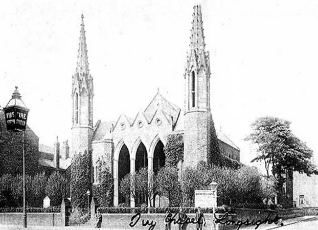
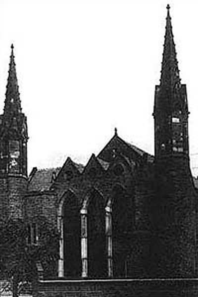
Ivy Congregational,
Stockport Road,
Longsight
Lancashire
Stockport Road,
Longsight
Lancashire
Hide
It was founded before 1852. It is now closed and has been demolished, but we do not know the date of closure.
This site provides historical information about churches, other places of worship and cemeteries. It has no connection with the churches etc. themselves.
It was located at SJ8649295985 (Lat/Lon 53.460437, -2.204913). You can see this on maps provided by:
- OpenStreetMap
- Google Maps
- StreetMap (Current Ordnance Survey maps)
- Bing (was Multimap)
- Old Maps Online
- National Library of Scotland (Old Ordnance Survey maps)
- Vision of Britain (Click "Historical units & statistics" for administrative areas.)
- English Jurisdictions in 1851 (Unfortunately the LDS have removed the facility to enable us to specify a starting location, you will need to search yourself on their map.)
- Magic (Geographic information) (Click + on map if it doesn't show)
- GeoHack (Links to on-line maps and location specific services.)