
Hide
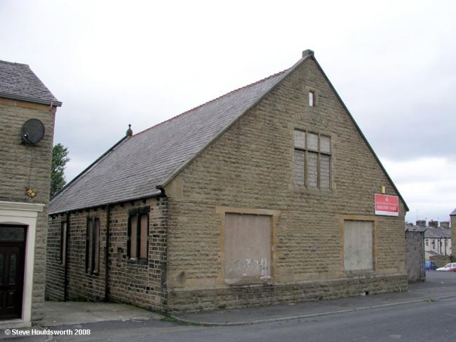
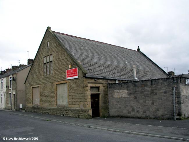
Albert St, Congregational, Oswaldtwistle
hide
Hide
Photograph supplied by & © Copyright of Steve Houldsworth.

Hide
Congregational church,
Albert St,
Oswaldtwistle
Lancashire
Albert St,
Oswaldtwistle
Lancashire
Hide
It was founded in 1877. It is now closed, but we do not know the date of closure .
Services were begun from Accrington in 1870 and a church was formed, the chapel in Albert Street being opened in 1877.
This site provides historical information about churches, other places of worship and cemeteries. It has no connection with the churches etc. themselves.
It was located at SD7409627884 (Lat/Lon 53.74668, -2.394269). You can see this on maps provided by:
- OpenStreetMap
- Google Maps
- StreetMap (Current Ordnance Survey maps)
- Bing (was Multimap)
- Old Maps Online
- National Library of Scotland (Old Ordnance Survey maps)
- Vision of Britain (Click "Historical units & statistics" for administrative areas.)
- English Jurisdictions in 1851 (Unfortunately the LDS have removed the facility to enable us to specify a starting location, you will need to search yourself on their map.)
- Magic (Geographic information) (Click + on map if it doesn't show)
- GeoHack (Links to on-line maps and location specific services.)