
Hide
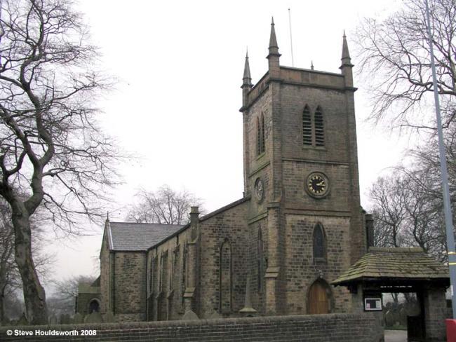
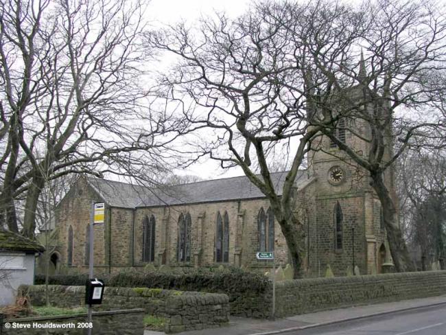
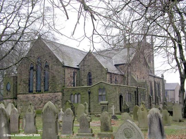
Immanuel Church of England, Oswaldtwistle
hide
Hide
Photograph supplied by & Copyright of Steve Houldsworth.
Hide
Immanuel,
New Lane,
Oswaldtwistle
Lancashire
Hide
1840-1993
Transcript of monumental inscriptions 1840-1993 held by Lancashire Archives - Searchroom
It was founded in 1837.
This site provides historical information about churches, other places of worship and cemeteries. It has no connection with the churches etc. themselves. For current information you should contact them directly.
1848-1854
Copy of Bishop's Transcript of baptisms 1848-1854 held by Lancashire Archives - DRB 2/279
It is located at SD7330026680 (Lat/Lon 53.735818, -2.406235). You can see this on maps provided by:
- OpenStreetMap
- Google Maps
- StreetMap (Current Ordnance Survey maps)
- Bing (was Multimap)
- Old Maps Online
- National Library of Scotland (Old Ordnance Survey maps)
- Vision of Britain (Click "Historical units & statistics" for administrative areas.)
- English Jurisdictions in 1851 (Unfortunately the LDS have removed the facility to enable us to specify a starting location, you will need to search yourself on their map.)
- Magic (Geographic information) (Click + on map if it doesn't show)
- GeoHack (Links to on-line maps and location specific services.)