Hide
Hatcliffe
hide
Hide
hide
Hide
hide
Hide
Hide
Hatcliffe, par., N. Lincolnshire, 7 miles SW. of Grimsby, 1,370 ac., pop. 203; P.O.
From: John BARTHOLOMEW's "Gazetteer of the British Isles (1887)"
Hide
The Grimsby Library is an excellent resource with both a Local History section and a Family History section.
- Brian CHESTER has provided a Monument Inscription lookup feature at his website for Hatcliffe St. Mary. You must select the cemetery by the related church.
- The parish was in the Grimsby sub-district of the Caistor Registration District.
- In an 1890 district reorganisation, this parish was allocated to the Grimsby sub-district of the new Grimsby Registration District.
- We have a handful of 1901 census surnames in a text file. Your additions are welcome.
- Check our Census Resource page for county-wide resources.
- The table below gives census piece numbers, where known:
| Census Year | Piece No. |
|---|---|
| 1841 | H.O. 107 / 636 |
| 1851 | H.O. 107 / 2113 |
| 1861 | R.G. 9 / 2391 |
| 1871 | R.G. 10 / 3416 |
| 1891 | R.G. 12 / 2620 |
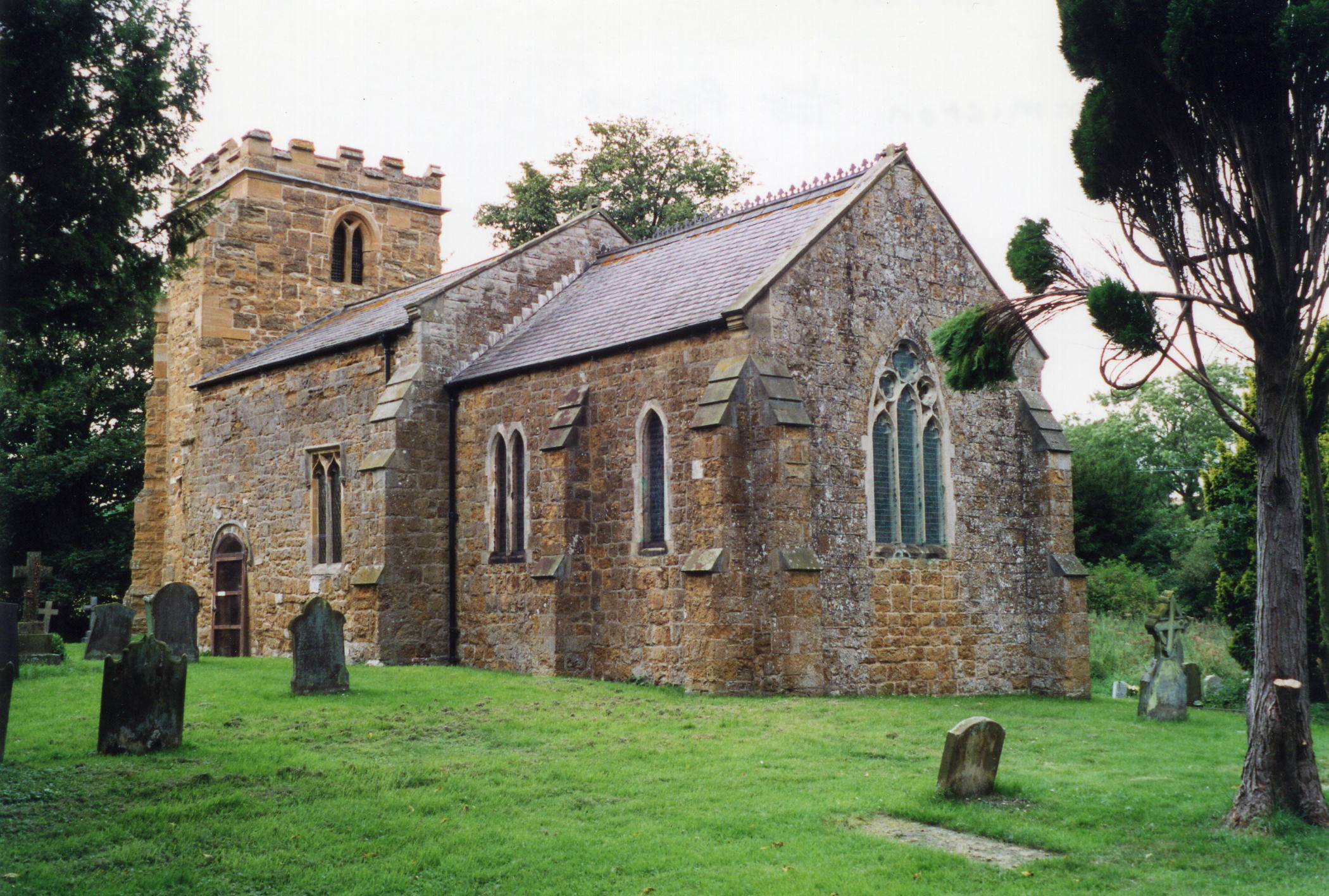
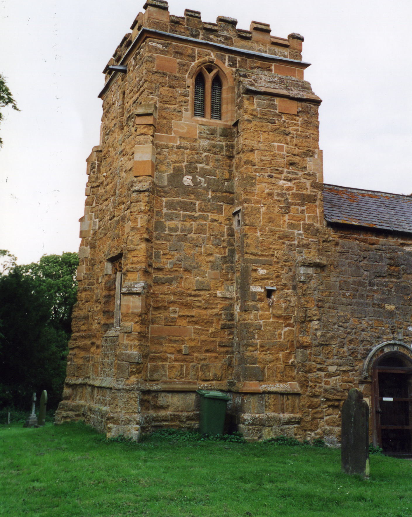
- The Anglican parish church is dedicated to Saint Mary.
- St. Mary's Church dates back as early as the 13th century and was built in the Norman and Perpendicular styles.
- The church was restored in 1861-2.
- The church was restored again in 1924-28.
- The church seats 100 people.
- A photograph of St. Mary's Church is at the Wendy PARKINSON English Church Photographs site.
- Richard CROFT has a photograph of St. Mary's Church on Geo-graph, taken in May, 2006.
- Here are two photos of St. Mary's Church, taken by (and copyright of) Ron COLE.


- The Anglican parish church register dates from 1696.
- The Lincolnshire FHS has published several marriage indexes and a 1641/2 Protestation Return for the Haverstoe Deanery to make your search easier.
- In early 1900 Directories, the parish is listed as in the East Walshcroft rural deanery.
- The Wesleyan Methodists had a chapel here, erected in 1837 with room for 80 sittings.
- For information and assistance in researching these chapels, see our non-conformist religions page.
- Check our Church Records page for county-wide resources.
- The parish was in the Grimsby sub-district of the Caistor Registration District.
- In 1890, the parish was allocated to the Grimsby sub-district of the new Grimsby Registration District.
- Check our Civil Registration page for sources and background on Civil Registration which began in July, 1837.
This village and parish lie in the Wolds of Lincolnshire, about 6 miles east of Caistor and 9 miles south-west of Grimsby. The parish covers about 1,400 acres.
The Waithe Beck passes through the village. If you are planning a visit:
- Check the Carlberry Co. for their Dent Coaches of North Kelsey bus or coach schedule.
- Consider a stay at the Old Farm House, Low Road, Hatcliffe, DN37 0SH, Lincs., tele: 01472 824-455.
- Take a Walking Tour of the countryside.
- See our touring page for visitor services.
- Ask for a calculation of the distance from Hatcliffe to another place.
- See our Maps page for additional resources.
You can see maps centred on OS grid reference TA213007 (Lat/Lon: 53.489037, -0.173238), Hatcliffe which are provided by:
- OpenStreetMap
- Google Maps
- StreetMap (Current Ordnance Survey maps)
- Bing (was Multimap)
- Old Maps Online
- National Library of Scotland (Old Ordnance Survey maps)
- Vision of Britain (Click "Historical units & statistics" for administrative areas.)
- English Jurisdictions in 1851 (Unfortunately the LDS have removed the facility to enable us to specify a starting location, you will need to search yourself on their map.)
- Magic (Geographic information) (Click + on map if it doesn't show)
- GeoHack (Links to on-line maps and location specific services.)
- All places within the same township/parish shown on an Openstreetmap map.
- Nearby townships/parishes shown on an Openstreetmap map.
- Nearby places shown on an Openstreetmap map.
There is a "Stone of Remembrance" in the churchyard, dedicated in June, 2003, for the Lancaster Bomber JB596 from 100 Sqadron that crashed in Hatcliffe parish in 1943. The following names are listed:
- Srgt. Bamford, John, RAFVR
- Srgt. Heaton, Bernard, RAFVR
- Noyes, L.
- Phillips, B.
- Flt. Officer, Proudfoot, Robert Laval, RAFVR
- Taylor, F. H.
- Srgt. Viggers, Sidney David, RAFVR
The webpage author does not know if any are from Hatcliffe.
- This place was an ancient parish in Lincoln County and became a modern Civil Parish when those were established.
- The parish was in the ancient Bradley Haverstoe Wapentake in the Central Lindsey district in the parts of Lindsey.
- The residents of this parish have elected to forgo a formal Parish Council and instead they discuss civic and political issues at periodic Parish Meetings. Stop by the Village Hall and ask for a schedule for the next meeting.
- In early 1900 Directories, the parish is listed as in the North Lindsey division of the county.
- District governance is provided by the North-East Lincolnshire Council.
- Bastardy cases would be heard in the Grimsby petty session hearings.
- After the Poor Law Amendment Act of 1834, this parish became part of the Caistor Poor Law Union.
- In an 1890 district reorganisation, this parish was assigned to the new Grimsby Poor Law Union.
- A Public Elementary School was built by the Wesleyans in 1855 to hold up to 80 children.
- See our Schools page for more information on researching school records.
