Hide
Pinchbeck
hide
Hide
hide
Hide
hide
Hide
Hide
"COWBIT WASH, a salt marsh in the parish of Pinchbeck, wapentake of Elloe, in the county of Lincoln. See Cowbit."
[Transcribed from The National Gazetteer of Great Britain and Ireland 1868]
by Colin Hinson ©2020
Hide
Pinchbeck Library is part of the Community Hub. At last check, the Pincbeck Library was closed due to Covid-19 restrictions (2021). They are staffed with helpful volunteers. They have a website on Facebook as well::
- Pinchbeck Library
- 48 Knight Street
- Pinchbeck
- PE11 3RU
- Tele: +44 1775 724348
And, not far away is the excellent Spalding Library.
- G I Barnett & Son Ltd., "Spalding: Pinchbeck Holbeach and Bourne", publ: G I Barnett, 1999. Barnett's street plans.
- Edmonds, Dulcie; Cox, David, "My Village: Pinchbeck", self published, 1986.
- Edmonds, Dulcie; Cox, David, "Pinchbeck past and present: photographs", Spalding: Premier Publications, 1984.
- Charlotte GORDON"Mistress Bradstreet, The Untold Life of America's First Poet" is about life in early 1600 Lincs and Colonial New England, built around the DUDLEY family; first edition March 2005; ISBN 0-316-16904-8; Little, Brown and Co., Time Warner Book Group.
- "The King's England-Lincolnshire", Edited by Arthur MEE, ISBN 1 872438 07 5 8vo (1992 Facsimile Reprint of 1949 Edn: Reprint due 2003).
- Parsons, Bernard, "West Pinchbeck Story", Boston: L.J. Ruskin, 1978.
- The parish was in the Pinchbeck sub-district of the Spalding Registration District.
- Check our Census Resource page for county-wide resources.
- Check for ancestors on our 1901 Census Surname Extract.
- The table below gives census piece numbers, where known:
Census
YearPiece No. 1841 H.O. 107 / 609 1851 H.O. 107 / 2096 1861 R.G. 9 / 2320 1871 R.G. 10 / 3318 & 3322 1881 R.G. 11 / 3200 1891 R.G. 12 / 2559 1901 R.G. 13 / 3028
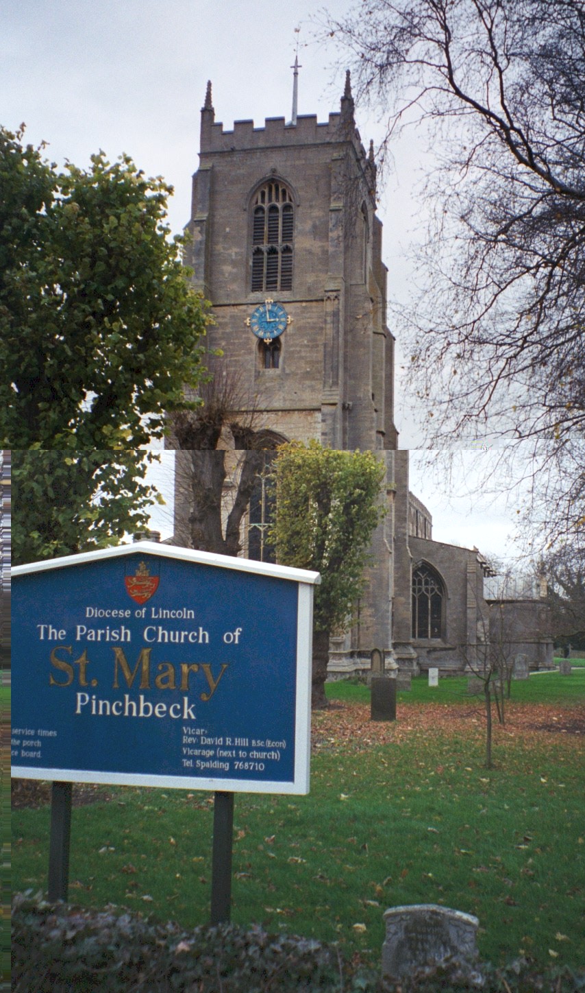
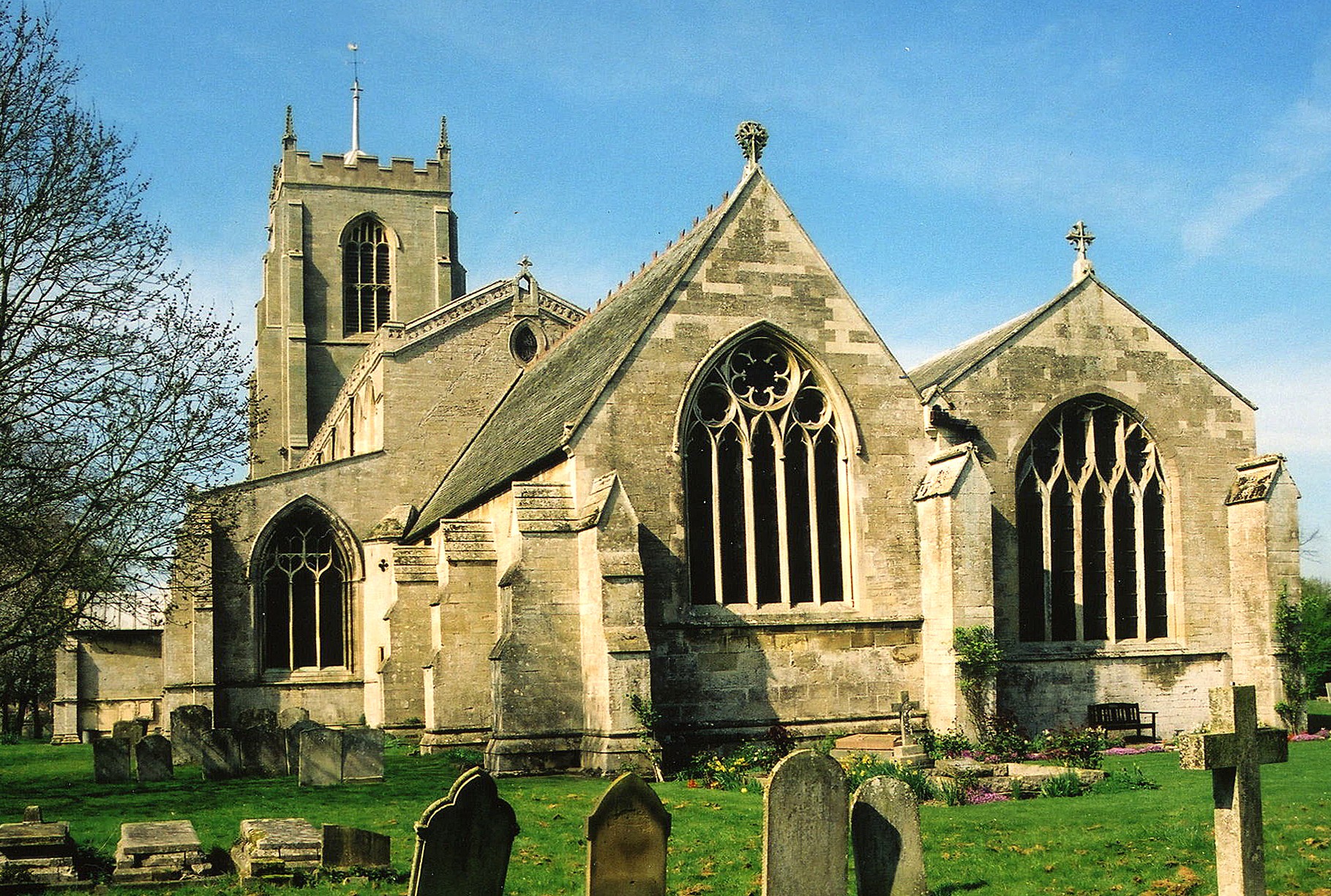
- The Anglican church is dedicated to Saint Mary.
- St. Mary's chancel was restored in 1856 through 1864.
- In 1891, St. Mary's installed a new organ.
- St. Mary's seats around 900 people.
- There is a photograph of St. Mary's Church on the Wendy PARKINSON Church Photos web site.
- Here is a photo of St. Mary's Church, taken by (and copyright of) Gordon WALTON:
- Here is a photo of St. Mary's Church, taken by Ron COLE (who retains the copyright):
- West Pinchbeck is an ecclesiastical parish formed on 11 March 1851 from Pinchbeck and Spalding civil parishes.
- There was a chapel of ease at Money Bridge in the 1800's.
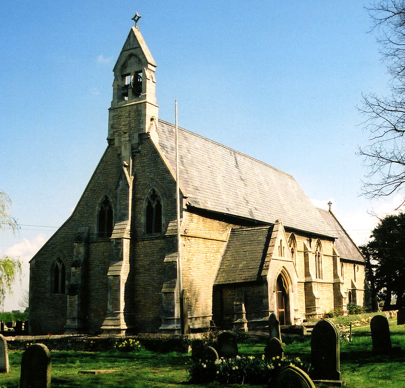
- The Anglican parish church in West Pinchbeck is dedicated to St. Bartholomew.
- The church of St. Bartholomew was built in 1849.
- The church was restored in 1897.
- The church seats 350.
- Here is a photo of St. Bartholomew's Church, taken by Ron Cole (who retains the copyright):
- The Anglican parish registers exist from 1560.
- We have a small Register Extract file to which you are welcome to add your extracts.
- St. Bartholomew's parish registers exist from 1850.
- Most of the Pinchbeck parish registers have already transcribed to FreeREG up to about 100 years ago (due to the 100 Year Closure regulations).
- Michael EDGOOSE has provided a list of Away from home - buried in Pinchbeck folk.
- West Pinchbeck parish registers exist from 1850.
- The LFHS has published several marriage and burial indexes for the West Elloe Deanery to make your search easier.
- There was an Independent chapel built in the parish at Money Bridge in 1787. The Baptists built one in 1844 and the Free Church Methodists followed with a chapel in 1847. A United Methodist chapel was built in West Pinchbeck in 1863. Check our Non-Conformist Church Records page for additional resources.
- The Baptist chapel was originally built in 1844 amd was rebuilt in 1895.
- Tim HEATON provides a photograph of the Baptist Church on Geo-graph, taken in 2007.
- Check our Church Records page for county-wide resources.
- The parish was in the Pinchbeck sub-district of the Spalding Registration District.
- Check our Civil Registration page for sources and background on Civil Registration which began in July, 1837.
Pinchbeck is both a village and parish a mile north of Spalding and situated south of Surfleet parish that includes the hamlet of Pinchbeck West. The A16 trunk road passes through the parish. The area is flat fenland, drained by many small canals. The parish covers over 14,000 acres. West Pinchbeck is an ecclesiastical parish formed on 11 March 1851 from Pinchbeck and Spalding civil parishes.
The village of Pinchbeck is two miles north of Spalding on the Donington Road and 95 miles north of London. The River Glen flows easterly past the north end of the village. If you are planning a visit:
- It is probably easiest to take the A16 Motorway north from Spalding for about one mile, or south out of Boston past Seas End.
- Visit our touring page for more sources.
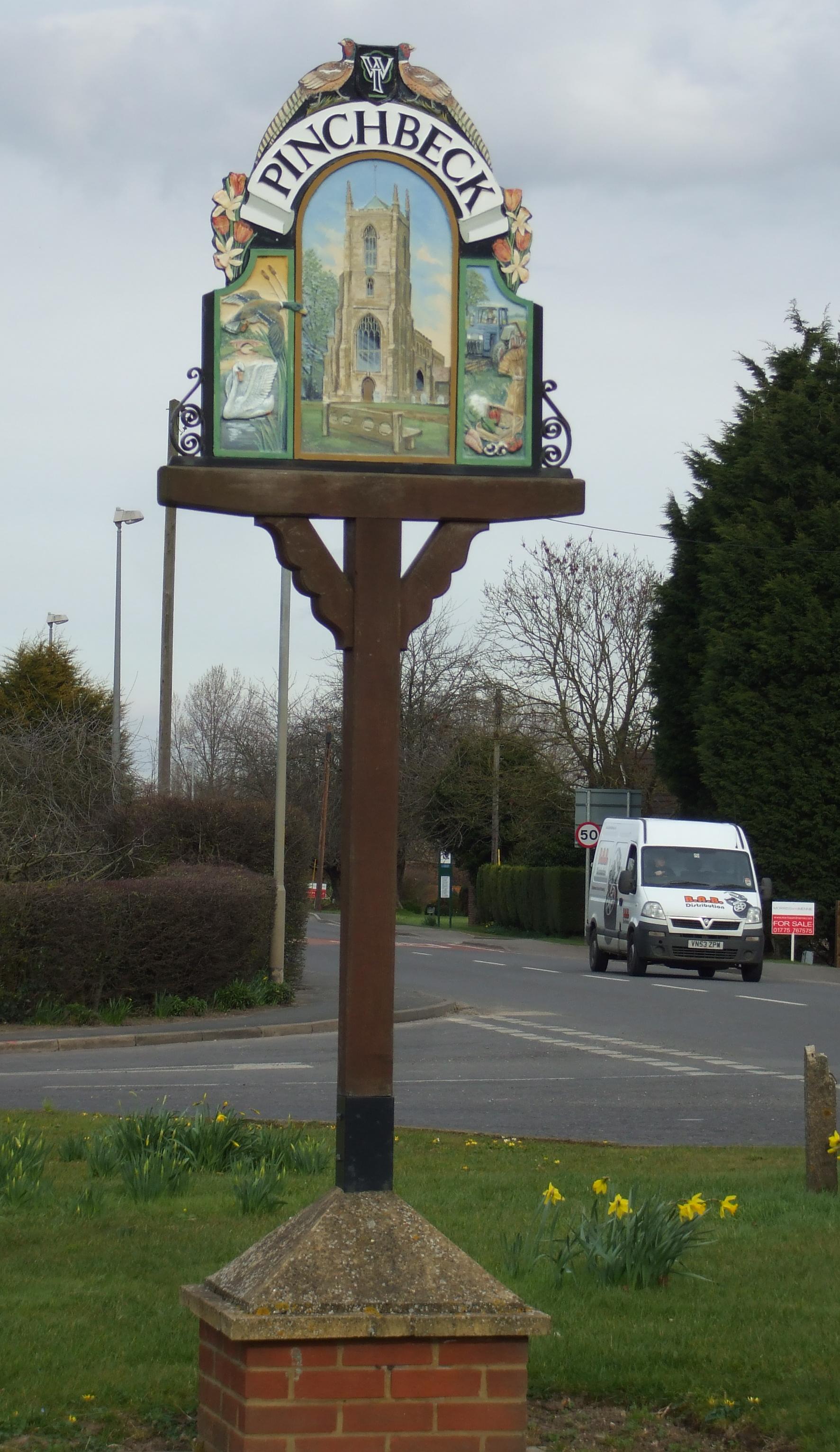
- It's a SIGN! Watch for the village sign (copyright Patricia McCRORY) as you enter:
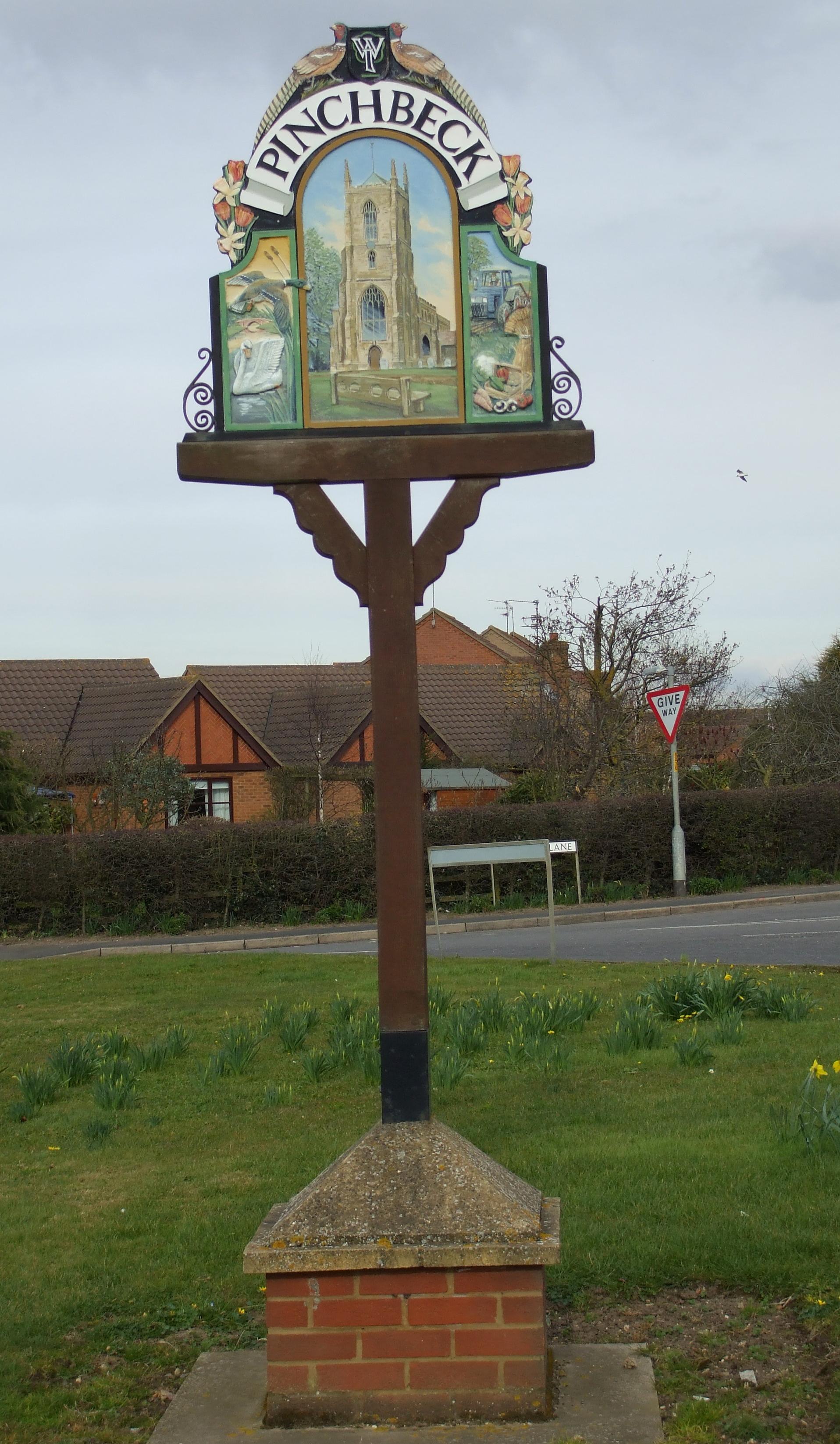
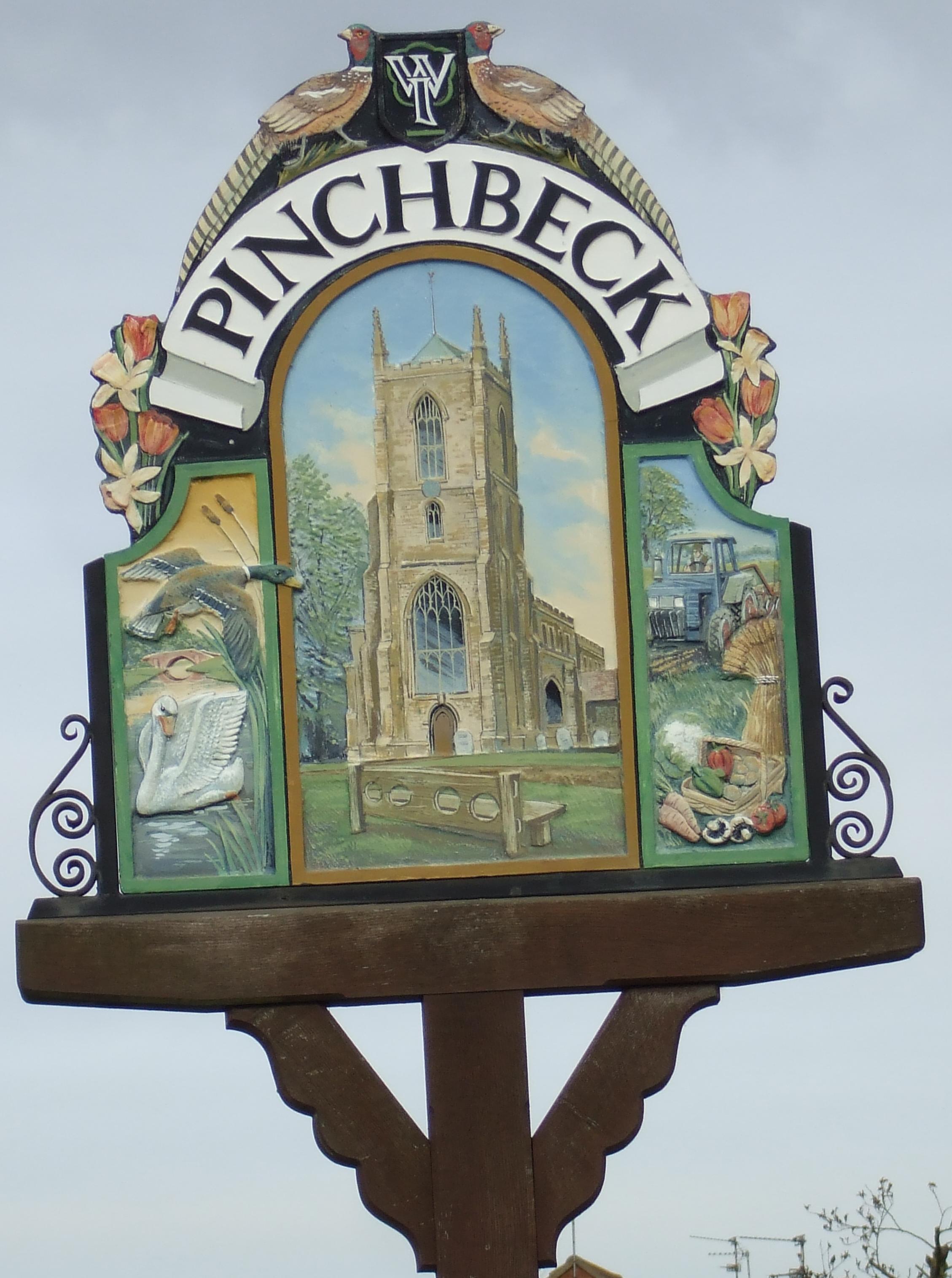
The National Gazetteer of Great Britain and Ireland - 1868
"COWBIT WASH, a salt marsh in the parish of Pinchbeck, wapentake of Elloe, in the county of Lincoln. See Cowbit."
- Ask for a calculation of the distance from Pinchbeck to another place.
The first drains around Pinchbeck were built in the 1590s.
- In 1742, a brass Roman coin of Commodus was found in the manor house gardens.
- Much of the parish was given over to pasturage in the 1800s.
- In 1871, a Mr. M. I. AITKEN had a flax scuthching mill here, employing about 100 people. "Scutching" is beating the flax to soften it.
- The village is also mentioned in "Aspects of Spalding Villages," by Michael J. ELSDEN, cost is approx. £19.95.
- You can also find the village in "Remembrances of Times Past," by Tom BRAY, publ. Elsam Cross & Co., Spalding, 2005.
- The Bell Inn on Church street is still operating. It had the following names associated with it in various directories:
| Year | Person |
|---|---|
| 1842 | John YARRAD |
| 1868 | James HARRISON |
| 1872 | Mrs. Frances HARRISON, brewer |
| 1882 | Samuel ORBELL, farmer |
| 1896 | Samuel ORBELL |
| 1900 | Samuel ORBELL |
| 1913 | Samuel ORBELL |
| 1919 | Miss A. Bainbridge ORBELL |
| 1930 | Miss A. Bainbridge ORBELL |
The ORBELLs were from Huntingdonshire. Aoltie Bambridge ORBELL, listed above, was born in Brington Hunt, Huntingdonshire, circa 1874.
- The moated Manor House at Pinchbeck was Pinchbeck Hall or Otway Hall, depending on which of the two families occupied it at the time. It was torn down in 1802 and a new Hall built in its place in 1812.
- In 1896 and 1900, Pinchbeck Hall was the residence of Mrs. Mary BEATSON.
- See our Maps page for additional resources.
You can see maps centred on OS grid reference TF239259 (Lat/Lon: 52.816043, -0.16325), Pinchbeck which are provided by:
- OpenStreetMap
- Google Maps
- StreetMap (Current Ordnance Survey maps)
- Bing (was Multimap)
- Old Maps Online
- National Library of Scotland (Old Ordnance Survey maps)
- Vision of Britain (Click "Historical units & statistics" for administrative areas.)
- English Jurisdictions in 1851 (Unfortunately the LDS have removed the facility to enable us to specify a starting location, you will need to search yourself on their map.)
- Magic (Geographic information) (Click + on map if it doesn't show)
- GeoHack (Links to on-line maps and location specific services.)
- All places within the same township/parish shown on an Openstreetmap map.
- Nearby townships/parishes shown on an Openstreetmap map.
- Nearby places shown on an Openstreetmap map.
- Terry McKENNA provides a photograph of the War Memorial on Geo-graph, taken in July, 2006.
- We have eight photographs of the Pinchbeck War Memorial which honours those who served in both World Wars. The photographs may slow the download. To skip to the text list of names, go to the Pinchbeck War Memorial List.
St. Mary's churchyard has two Commonwealth War Graves from World War I:
- Harry ORBELL, corp., Royal Engineers, age 46, died 27 Oct. 1917. Son of Samuel ORBELL, husband of Hannah ORBELL.
- William Bailey PARKER, priv., Lincs Rgt., age 30, died 30 Nov. 1918. Son of Bailey PARKER.
- The name Pinchbeck is from the Old English pinc+bece or pinca+bece, meaning either "Minnow Stream" or "Finch Ridge". In the 1086 Domesday book, the village is given as Pincebec.
[A. D. Mills, "A Dictionary of English Place-Names," Oxford University Press, 1991].
- George Edward COCKAYNE's "Lincolnshire Parish Registers and Monumental Inscriptions" contains a list of Rectors of Pinchbeck prior to 1699.
- KELLY's 1896 Directory lists these residents of the parish: BEATON Mrs. Pinchbeck Hall; WAYET Rev Frank Field (vicar); DARLEY Benjamin, farmer Surfleet Rd; DARLEY George, Farmer Surfleet Rd; GUY Benjamin, wheelwright and blacksmith, Knight St; GUY Sarah (Mrs) farmer; HARGRAVE Isaac butcher; NICHOLLS John farmer; ORBELL Samuel, The Bull Inn; RICHARDSON William, bulb and fruit grower and farmer Surfleet rd; ROWLAND John Wm farmer The Grange. (Thanks, Louise Oliver).
- Check for ancestors on our 1901 Census Surname Extract.
- This place was an ancient parish in Lincolnshire and became a modern Civil Parish when those were established.
- The parish was in the ancient Elloe Wapentake in the South Holland district of the parts of Holland.
- In August, 1882, this parish was enlarged when it gained the Star Lode Drove and adjacent parcels from Cowbit Civil Parish.
- In March, 1887, this parish was reduced in size when it gave Cowbit Wash to Cowbit Civil Parish and Deeping Road allotments to Spalding Civil Parish, but it gained the Forty Foot Bank from Spalding Civil Parish.
- In April, 1932, this parish was reduced by 535 acres given over to Spalding Civil Parish in return for 1 acre in that parish.
- You may contact the local Parish Council regarding civic or political matters, but they are NOT staffed to help you with family history searches.
- For today's district governance, visit the South Holland District Council site.
- Bastardy cases would be heard in the Elloe (Spalding) petty session hearings held every other Tuesday.
- In 1708 Robert BAGGOTT left a charity to be distributed to the poor annually.
- As a result of the 1834 Poor Law Amendment Act, the parish became part of the Spalding Poor Law Union.
Michael EDGOOSE has an index to Pinchbeck wills (beneficiaries, witnesses, landlords, tenants, etc. mentioned in Pinchbeck wills 1500-1750) at Rootsweb. To access:
- Go to Rootsweb.com
- Enter the surname for which you are searching
- When the first page of results come back, then click on "British, UK and Ireland Data" to restrict the range of the display.
- Look for information given under the following sub-headings:
- Name: i.e. the subject of your search
- Location of Event: ENG
- Parish: Pinchbeck
- Date: 1500-1750 (i.e. the scope of the index)
- Source: The Lincs Archives Will Reference which includes the year of probate
- Notes: The name here is that of the testator. The information after the semi-colon is the relationship of the subject of your search to the testator.
- Pinchbeck West school was erected here in 1849, followed by Pinchbeck East in 1854. Between them, in 1911, they held 350 children.
- A National School was built in Pode Hole in 1871.
- Pinchbeck Primary School became the Pinchbeck Adult Study Centre. During November 2015 Pinchbeck Parish Council took over the tenancy of this building.
- For more on researching school records, see our Schools Research page.
