Hide
Yarburgh (Yarborough)
hide
Hide
hide
Hide
hide
Hide
Hide
[Transcribed from The National Gazetteer of Great Britain and Ireland 1868]
by Colin Hinson ©2020
Hide
There is no library in the village, but the Bookmobile does visit each Tuesday afternoon. Most residents use the library in Louth for research.
The Library at Louth will prove useful in your research.
- The parish was in the Tetney sub-district of the Louth Registration District.
- The North Lincolnshire Library holds copies of the census returns for 1841 and 1881.
- Check our Census Resource page for county-wide resources.
- The table below gives census piece numbers, where known:
Census
YearPiece No. 1841 H.O. 107 / 650 1851 H.O. 107 / 2112 1861 R.G. 9 / 2386 1871 R.G. 10 / 3409 1891 R.G. 12 / 2611
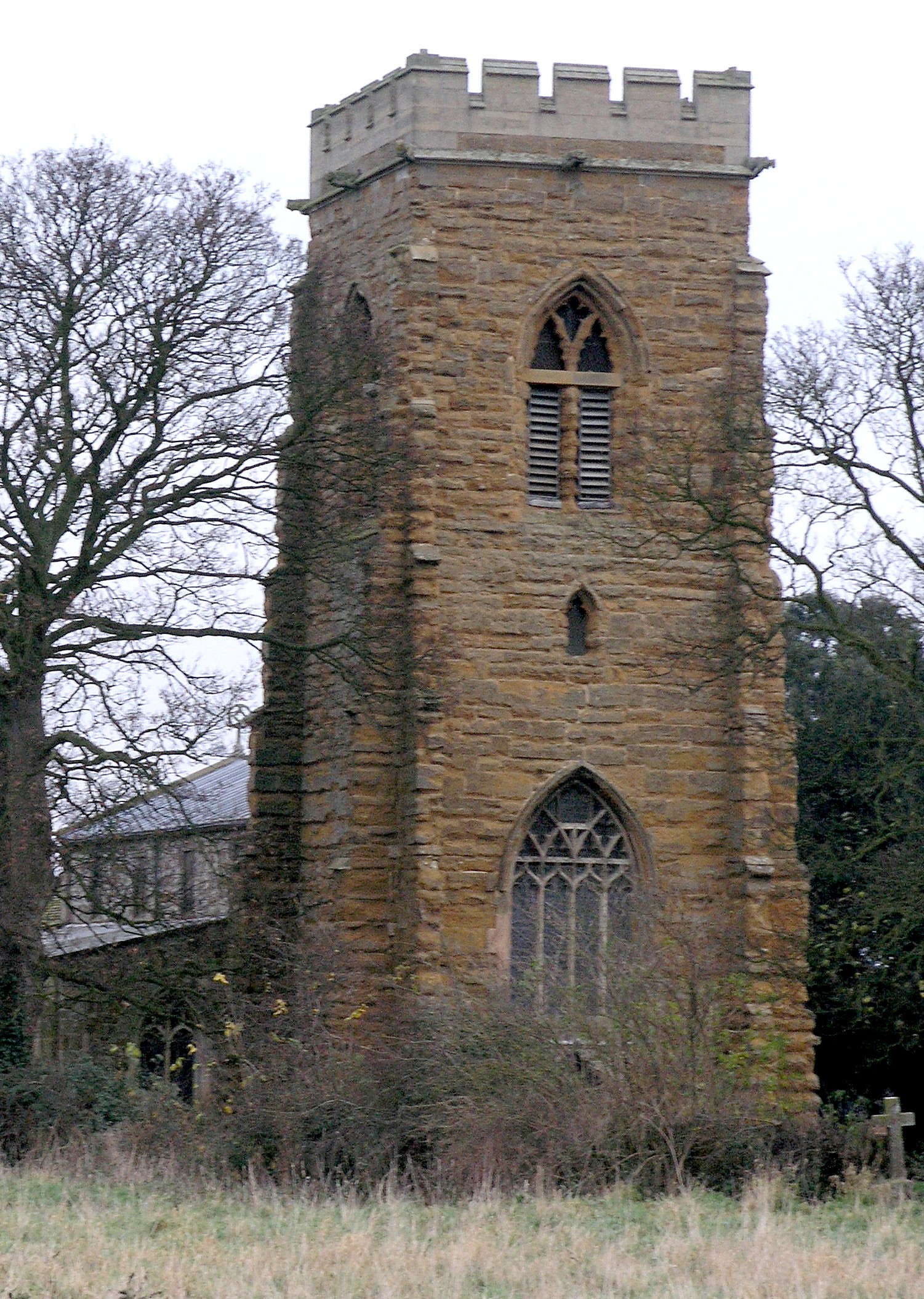
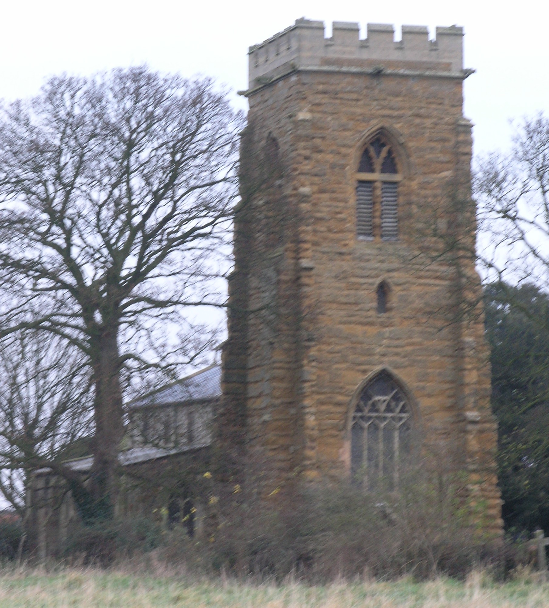
- The Anglican parish church is dedicated to Saint John the Baptist.
- The church is a sandstone church rebuilt after a fire in 1405 and restored in 1854/1855. The tower has a remarkable west doorway featuring 15th Century carvings.
- The Diocese of Lincoln declared this church redundant in March, 1981.
- A photograph of St. John's church is at the Wendy PARKINSON English Church Photographs site.
- David HITCHBORNE has a photograph of Saint Joh's Church on Geo-graph, taken in April, 2004.
- Here are two photos of St. John's Church, taken by Ron COLE (who retains the copyright):


- The Anglican parish registers exist from 1540.
- The LFHS has published several indexes for the Louthesk Deanery to make your search easier.
- Parish registers are now on file at the Society of Genealogists, covering baptisms 1561-1976, marriages 1561-1975, burials 1561-1978, and monument inscriptions 1700-1753.
- Copies of the parish registers are held at the Lincolnshire Archives and cover the same period as the SOG above.
- Yarburgh had chapels for the Wesleyan Methodists (built in 1818), the Primitive Methodists (1850) and the Free Methodists [later United Methodists] (1853). For information and assistance in researching these chapels, see our non-conformist religions page.
- Check our Church Records page for county-wide resources.
- The parish was in the Tetney sub-district of the Louth Registration District.
- Check our Civil Registration page for sources and background on Civil Registration which began in July, 1837.
Yarburgh (Yarborough) is both a village and parish in the north of Lincolnshire. The parish covers about 1,300 acres. The parish lies south of Grimsby and north of Louth and the eastern edge of the parish holds a portion of the Louth Navigation Canal. Little Grimsby parish lies to the west, Alvingham parish to the southeast and Covenham St. Mary to the north.
The village sits in a small vale four miles NNE of Louth.
If you are planning a visit:
- To reach the village, one can either turn east off the A16 just north of Louth, or, if traveling up the coast, can turn west off of the A1031 trunk road just south of Grainthorpe.
- There are many caravan and camping facilities along the coast, not ten miles distant, and at Grimoldby, about five miles to the southeast.
- Visit our touring page for more sources.
The National Gazetteer of Great Britain and Ireland - 1868
- Ask for a calculation of the distance from Yarburgh (Yarborough) to another place.
- Saxons are thought to have founded Yarburgh, but the village was occupied by the Danes after their conquest of Lincolnshire. Dane Court lies to the north of the village.
- Chris ? has a photograph of the 2007 flood that hit Yarburgh on Geo-graph, taken in 2007.
- See our Maps page for additional resources.
You can see maps centred on OS grid reference TF351931 (Lat/Lon: 53.417409, 0.031357), Yarburgh (Yarborough) which are provided by:
- OpenStreetMap
- Google Maps
- StreetMap (Current Ordnance Survey maps)
- Bing (was Multimap)
- Old Maps Online
- National Library of Scotland (Old Ordnance Survey maps)
- Vision of Britain (Click "Historical units & statistics" for administrative areas.)
- English Jurisdictions in 1851 (Unfortunately the LDS have removed the facility to enable us to specify a starting location, you will need to search yourself on their map.)
- Magic (Geographic information) (Click + on map if it doesn't show)
- GeoHack (Links to on-line maps and location specific services.)
- All places within the same township/parish shown on an Openstreetmap map.
- Nearby townships/parishes shown on an Openstreetmap map.
- Nearby places shown on an Openstreetmap map.
- John READMAN has a photograph of the War Memorial plaque in the church on Geo-graph, taken in 2005.
For a list of names on the War Memorial, see the Roll of Honour site.
- The name Yarburgh is from the Old English eorth+burh, for "the earthwork or fortification built of earth". In the 1086 Domesday Book it first appears as Gereburg and later as Jerdeburc. Yarborough is a widely-found alternative spelling.
[A. D. Mills, "A Dictionary of English Place-Names," Oxford University Press, 1991]
- This place was an ancient parish of Lincolnshire and became a modern Civil Parish when those were established.
- The parish was in the ancient Louth Eske Wapentake in the East Lindsey district in the parts of Lindsey.
- The citizens of this parish have decided to forego a formal parish council and instead hold periodic Parish Meetings to discuss civic and political issues.
- For today's district governance, see the East Lindsey District Council.
- Poor relief dates back to at least 1811 when 235 acres were alloted to the poor.
- After the 1834 Poor Law Amendment Act reforms, the parish became part of the Louth Poor Law Union.
- Bastardy cases would be heard in the Louth petty session hearings every other Wednesday.
- A parochial school was built here before 1871 and was attended by over 40 children.
- For more on researching school records, see our Schools Research page.
