
Hide
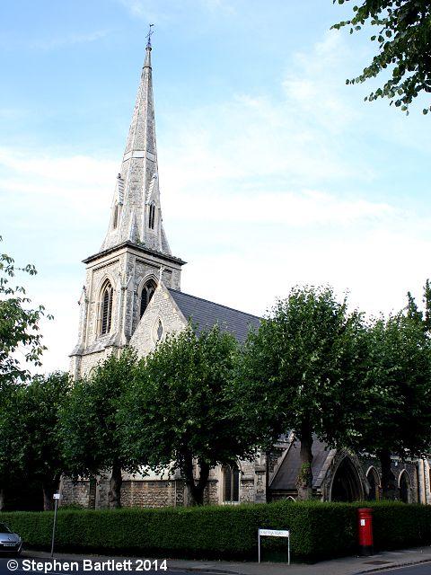
St John the Evangelist, Putney, Church of England
hide
Hide
Hide
St John the Evangelist (ref: PUT02),
St John's Avenue,
Putney
Hide
It was founded in 1859. It closed before 1977 as an Anglican Church and was then taken over by the Polish Roman Catholic Church.
It was located at TQ2380374930 (Lat/Lon 51.45982, -0.219373). You can see this on maps provided by:
- OpenStreetMap
- Google Maps
- StreetMap (Current Ordnance Survey maps)
- Bing (was Multimap)
- Old Maps Online
- National Library of Scotland (Old Ordnance Survey maps)
- Vision of Britain (Click "Historical units & statistics" for administrative areas.)
- English Jurisdictions in 1851 (Unfortunately the LDS have removed the facility to enable us to specify a starting location, you will need to search yourself on their map.)
- Magic (Geographic information) (Click + on map if it doesn't show)
- GeoHack (Links to on-line maps and location specific services.)