
Hide
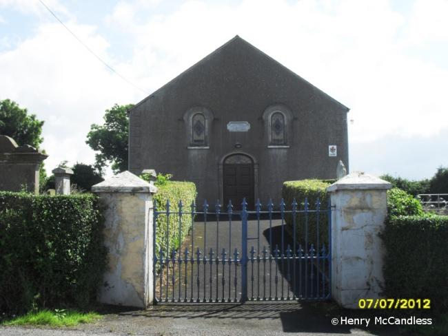
3rd Presbyterian, Boardmills, Presbyterian (Seceders)
hide
Hide
Hide
3rd Presbyterian,
Church Road,
Boardmills
Church Road,
Boardmills
Hide
2002: All three presbyterian churches merged as Trinity Presbyterian, meeting at the former 1st Presbyterian church.
It was located at NW4653714903 (Lat/Lon 54.466042, -5.912923). You can see this on maps provided by:
- OpenStreetMap
- Google Maps
- Bing (was Multimap)
- Vision of Britain (Click "Historical units & statistics" for administrative areas.)
- Copy
3rd Presbyterian, Boardmills, Presbyterian (Seceders)and paste it along with the county name into the search box at Ordnance Survey Ireland. - GeoHack (Links to on-line maps and location specific services.)