
Hide
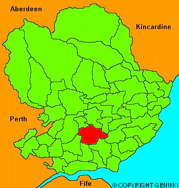
Inverarity
hide
Hide
"A parish in the county of Forfar, about three miles square. The surface is uneven, and a great aprt of the soil muiry, and unimprovable. There is however, a growing spirit for agriculture, but enclosures are still rare, and the old system of incessant cropping still adhered to in many farms. The principal manure employed is marl, brought from the loch of Forfar, at the distance of five miles. There are few old trees, but of late years, the chief proprietors have planted a considerable extent of the waste lands, which are very thriving, and must eventually turn to good account."
The Gazetteer of Scotland, W Chalmers, Dundee 1803.
Hide
| Inverarity Kirk, Inverarity and Methy, Church of Scotland |
- The transcription of the section for Inverarity and Methy from the National Gazetteer (1868) provided by Colin Hinson.
- Ask for a calculation of the distance from Inverarity to another place.
You can see maps centred on OS grid reference NO467432 (Lat/Lon: 56.577941, -2.868898), Inverarity which are provided by:
- OpenStreetMap
- Google Maps
- StreetMap (Current Ordnance Survey maps)
- Bing (was Multimap)
- Old Maps Online
- National Library of Scotland (Old Ordnance Survey maps)
- Vision of Britain (Click "Historical units & statistics" for administrative areas.)
- Magic (Geographic information) (Click + on map if it doesn't show)
- GeoHack (Links to on-line maps and location specific services.)
- All places within the same township/parish shown on an Openstreetmap map.
- Nearby townships/parishes shown on an Openstreetmap map.
- Nearby places shown on an Openstreetmap map.