
Hide
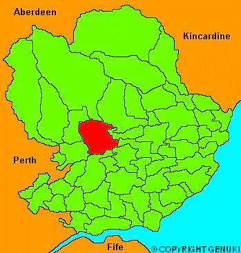
Kirriemuir
hide
Hide
"Kirriemuir, commonly pronounced Killamuir; a considerable town and parish in Angus. The town is situated near the foot of the braes of Angus, on the south west side of a hill near a romantic den, through which flows the small river Gairie. It consists of several streets, going off from each other, in a manner somewhat resembling the arms and shaft of an anchor. Few towns in the county have a better supplied weekly market; and in no town of its size is more trade carried on. In 1792, the amount of osnaburgs and coarse linens manufactured in the town and neighbourhood, was about 30,000 l. sterling. It lies 16 miles from Dundee, 20 from Arbroath and 6 from Forfar. It is a burgh of barony, governed by a baron bailie, appointed by Lord Douglas, the superior, and is of considerable antiquity; but the date of its charter of erection is unknown."
The Gazetteer of Scotland, W Chalmers, Dundee 1803.
Hide
| St Mary, Kirriemuir, Scottish Episcopal |
| St Mary, Kirriemuir, Scottish Episcopal |
| St Mary, Kirriemuir, Scottish Episcopal |
| Kirriemuir Old Parish Church (Barony Church), Kirriemuir, Church of Scotland |
- The transcription of the section for Kirriemuir from the National Gazetteer (1868) provided by Colin Hinson.
- Ask for a calculation of the distance from Kirriemuir to another place.
You can see maps centred on OS grid reference NO395544 (Lat/Lon: 56.677231, -2.989488), Kirriemuir which are provided by:
- OpenStreetMap
- Google Maps
- StreetMap (Current Ordnance Survey maps)
- Bing (was Multimap)
- Old Maps Online
- National Library of Scotland (Old Ordnance Survey maps)
- Vision of Britain (Click "Historical units & statistics" for administrative areas.)
- Magic (Geographic information) (Click + on map if it doesn't show)
- GeoHack (Links to on-line maps and location specific services.)
- All places within the same township/parish shown on an Openstreetmap map.
- Nearby townships/parishes shown on an Openstreetmap map.
- Nearby places shown on an Openstreetmap map.