
Hide
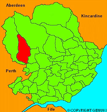
Lintrathen
hide
Hide
"About 8 miles in length, and 4 in breadth, elevated on the skirts of the Grampian mountains. It has a bleak and barren aspect; the surface is composed of hills, valleys and mountains, and possesses few spots which admit of culture; and even these spots are of a thin muirish soil, yielding an inferior quality of grain. The greater part is laid out in pasturage, neither the soil nor climate being favourable for plantations. There is a lake about a mile in diameter, which gives rise to one of the principle streams of the Melgam."
The Gazetteer of Scotland, W Chalmers, Dundee 1803.
Hide
| Lintrathen Parish Church, Lintrathen, Church of Scotland |
- The transcription of the section for Lintrathen from the National Gazetteer (1868) provided by Colin Hinson.
- Ask for a calculation of the distance from Lintrathen to another place.
You can see maps centred on OS grid reference NO278609 (Lat/Lon: 56.734296, -3.182485), Lintrathen which are provided by:
- OpenStreetMap
- Google Maps
- StreetMap (Current Ordnance Survey maps)
- Bing (was Multimap)
- Old Maps Online
- National Library of Scotland (Old Ordnance Survey maps)
- Vision of Britain (Click "Historical units & statistics" for administrative areas.)
- Magic (Geographic information) (Click + on map if it doesn't show)
- GeoHack (Links to on-line maps and location specific services.)
- All places within the same township/parish shown on an Openstreetmap map.
- Nearby townships/parishes shown on an Openstreetmap map.
- Nearby places shown on an Openstreetmap map.