
Hide
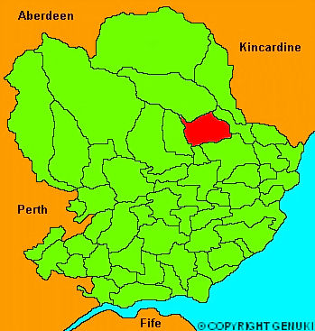
Menmuir
hide
Hide
"About 5 miles in length, and at a medium, 2 in breadth. The general appearance is flat, especially to the South and East; but towards the North it is very hilly, and covered with heath. In this part is situated the hill of Caterthun, noted for the foritification on its summit. The arable soil is a sandy loam, in some places intermixed with gravel, and tolerably fertile. Although there are no rivers of any great size, there are numerous streams, sufficient to drive several mills."
The Gazetteer of Scotland, W Chalmers, Dundee 1803.
Hide
| Menmuir Parish Church, Menmuir, Church of Scotland |
- The transcription of the section for Menmuir from the National Gazetteer (1868) provided by Colin Hinson.
- Ask for a calculation of the distance from Menmuir to another place.
You can see maps centred on OS grid reference NO543646 (Lat/Lon: 56.770751, -2.748966), Menmuir which are provided by:
- OpenStreetMap
- Google Maps
- StreetMap (Current Ordnance Survey maps)
- Bing (was Multimap)
- Old Maps Online
- National Library of Scotland (Old Ordnance Survey maps)
- Vision of Britain (Click "Historical units & statistics" for administrative areas.)
- Magic (Geographic information) (Click + on map if it doesn't show)
- GeoHack (Links to on-line maps and location specific services.)
- All places within the same township/parish shown on an Openstreetmap map.
- Nearby townships/parishes shown on an Openstreetmap map.
- Nearby places shown on an Openstreetmap map.