
Hide
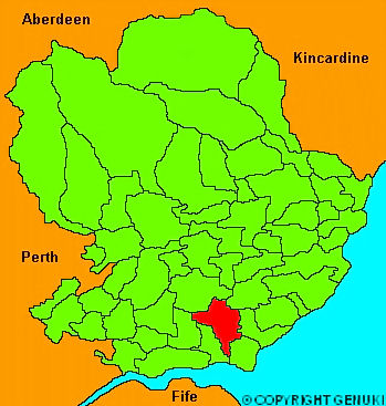
Monikie
hide
Hide
" .... of a triangular figure, 6 miles long, and 4 broad at its northern extremity, from which it gradually lessens in breadth, till it terminates at the sandy desert, at the mouth of the river Tay. The surface is diversified with several large hills; and a ridge running from East to West divides it into two districts, which vary considerably in point of fertility and climate; the osuthern part being rich and early, and the northern moist and cold: in the latter district also, is an extensive tract of muir, which has lately been planted, and now forms a part of the policy of the house of Panmure, which is situated in the neighbouring parish of Panbride."
The Gazetteer of Scotland, W Chalmers, Dundee 1803.
Hide
| Monikie Church, Monikie, Church of Scotland |
| Monikie Church, Monikie, Church of Scotland |
| Craigton Free Church, Craigtown, Free Church of Scotland |
- The transcription of the section for Monikie from the National Gazetteer (1868) provided by Colin Hinson.
- Ask for a calculation of the distance from Monikie to another place.
You can see maps centred on OS grid reference NO494375 (Lat/Lon: 56.526907, -2.823725), Monikie which are provided by:
- OpenStreetMap
- Google Maps
- StreetMap (Current Ordnance Survey maps)
- Bing (was Multimap)
- Old Maps Online
- National Library of Scotland (Old Ordnance Survey maps)
- Vision of Britain (Click "Historical units & statistics" for administrative areas.)
- Magic (Geographic information) (Click + on map if it doesn't show)
- GeoHack (Links to on-line maps and location specific services.)
- All places within the same township/parish shown on an Openstreetmap map.
- Nearby townships/parishes shown on an Openstreetmap map.
- Nearby places shown on an Openstreetmap map.