
Hide
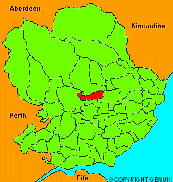
Oathlaw
hide
Hide
"About 5 miles long, and 2 broad, watered by the South Esk river. The general appearance is flat, rising towards the South to the summit of the hill of Findhaven, which is elevated 1500 feet above the level of the adjacent country. The soil is clayey and muiry, and the climate cold and moist. Besides the vestiges of an old castle ont he top of Findhaven, there are remains of a rectangular encampment; in the midst of which are two tumuli, which have never been opened."
The Gazetteer of Scotland, W Chalmers, Dundee 1803.
Hide
| Oathlaw Parish Church, Oathlaw, Church of Scotland |
| Oathlaw Parish Church, Oathlaw, Church of Scotland |
- The transcription of the section for Oathlaw from the National Gazetteer (1868) provided by Colin Hinson.
- Ask for a calculation of the distance from Oathlaw to another place.
You can see maps centred on OS grid reference NO466557 (Lat/Lon: 56.690245, -2.87385), Oathlaw which are provided by:
- OpenStreetMap
- Google Maps
- StreetMap (Current Ordnance Survey maps)
- Bing (was Multimap)
- Old Maps Online
- National Library of Scotland (Old Ordnance Survey maps)
- Vision of Britain (Click "Historical units & statistics" for administrative areas.)
- Magic (Geographic information) (Click + on map if it doesn't show)
- GeoHack (Links to on-line maps and location specific services.)
- All places within the same township/parish shown on an Openstreetmap map.
- Nearby townships/parishes shown on an Openstreetmap map.
- Nearby places shown on an Openstreetmap map.