
Hide
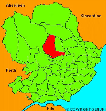
Tannadice
hide
Hide
"About 12 miles long, and on an average 4 broad; though in some places, its breadth extends to 8 or 10. The river South Esk runs through it, as well as the limpid Noran, which here joins the former river. The greater part of the parish is hilly and mountainous; and the banks of the rivers present a variety of romantic scenes. The soil is in general good, more inclined to clay than sand."
The Gazetteer of Scotland, W Chalmers, Dundee 1803.
Hide
| Oathlaw Tannadice Parish Church, Tannadice, Church of Scotland |
- The transcription of the section for Tannadice from the National Gazetteer (1868) provided by Colin Hinson.
- Ask for a calculation of the distance from Tannadice to another place.
You can see maps centred on OS grid reference NO456627 (Lat/Lon: 56.753014, -2.891532), Tannadice which are provided by:
- OpenStreetMap
- Google Maps
- StreetMap (Current Ordnance Survey maps)
- Bing (was Multimap)
- Old Maps Online
- National Library of Scotland (Old Ordnance Survey maps)
- Vision of Britain (Click "Historical units & statistics" for administrative areas.)
- Magic (Geographic information) (Click + on map if it doesn't show)
- GeoHack (Links to on-line maps and location specific services.)
- All places within the same township/parish shown on an Openstreetmap map.
- Nearby townships/parishes shown on an Openstreetmap map.
- Nearby places shown on an Openstreetmap map.