
Hide
Dunse (Duns), Church of Scotland
hide
Hide
© Copyright Walter Baxter and licensed for reuse under this Creative Commons Licence.
Hide
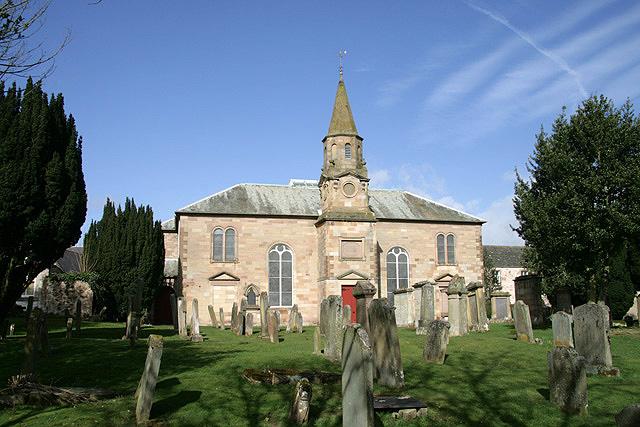
Church of Scotland,
Dunse
Hide
The present building replaced an earlier one that was demolished in 1790. The church was badly damaged by fire in 1879 and restored in 1880.
It is located at NT7862553865 (Lat/Lon 55.777632, -2.342322). You can see this on maps provided by:
- OpenStreetMap
- Google Maps
- StreetMap (Current Ordnance Survey maps)
- Bing (was Multimap)
- Old Maps Online
- National Library of Scotland (Old Ordnance Survey maps)
- Vision of Britain (Click "Historical units & statistics" for administrative areas.)
- Magic (Geographic information) (Click + on map if it doesn't show)
- GeoHack (Links to on-line maps and location specific services.)