Hide
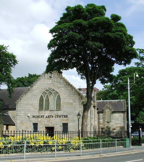
Low Church, Paisley, Church of Scotland
hide
Hide
High, Middle and Low Parish Boundaries
"The Laigh Church division, from the bridge on the south side, Water Wynd, (both sides southward). Water Brae, whole of Causeyside, (both sides), New Street, Shuttle Street, Orchard Street, and lanes off that, Saucel, Seedhill, Gordon's Lone, Prussia Street, and Common Lone (Canal Street) to Storie Street, (both sides).
To the High Church Parish, head of New Street, both sides westwards as far as the town's property, including Storie Street and houses in Oakshaw west from the church.
To the Middle Church Parish, from the head of New Street eastwards to the Cross, (both sides), including the houses round the Cross, and to the Old Bridge, (both sides), and to Dyers' Wynd, School Wynd, including these streets, and the whole of the town's property to the north thereof."
From https://archive.org/stream/historyofpaisley02brow/historyofpaisley02brow_djvu.txt
Hide
Hide
Low Church,
New Street,
Paisley
Hide
- OpenStreetMap
- Google Maps
- StreetMap (Current Ordnance Survey maps)
- Bing (was Multimap)
- Old Maps Online
- National Library of Scotland (Old Ordnance Survey maps)
- Vision of Britain (Click "Historical units & statistics" for administrative areas.)
- Magic (Geographic information) (Click + on map if it doesn't show)
- GeoHack (Links to on-line maps and location specific services.)

