
Hide
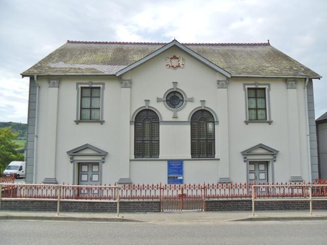
Capel-y-Garn, Pen-y-garn (Welsh Calvinistic Methodist), Llanfihangel Genau'r-glyn
hide
Hide
Hide
Capel-y-Garn,
A487,
Pen-y-garn
Cardiganshire
Hide
- The entry for this church on the National Monuments Record of Wales (NMRW) website (Coflein).
- See also the Chapels database
It is located at SN6266785414 (Lat/Lon 52.449373, -4.02223). You can see this on maps provided by:
- OpenStreetMap
- Google Maps
- StreetMap (Current Ordnance Survey maps)
- OpenStreetMap Cymru (Welsh counties only)
- Bing (was Multimap)
- Old Maps Online
- National Library of Scotland (Old Ordnance Survey maps)
- Vision of Britain (Click "Historical units & statistics" for administrative areas.)
- Magic (Geographic information) (Click + on map if it doesn't show)
- GeoHack (Links to on-line maps and location specific services.)