
Hide
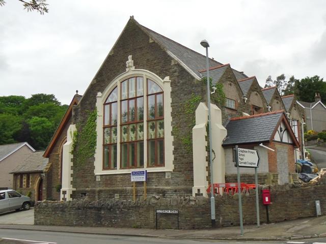
Chapel, Clydach
hide
Hide
Hide
Chapel,
Western Road,
Clydach
Glamorgan
Hide
- The entry for this church on the National Monuments Record of Wales (NMRW) website (Coflein).
It is located at SN6863601021 (Lat/Lon 51.692525, -3.901948). You can see this on maps provided by:
- OpenStreetMap
- Google Maps
- StreetMap (Current Ordnance Survey maps)
- OpenStreetMap Cymru (Welsh counties only)
- Bing (was Multimap)
- Old Maps Online
- National Library of Scotland (Old Ordnance Survey maps)
- Vision of Britain (Click "Historical units & statistics" for administrative areas.)
- Magic (Geographic information) (Click + on map if it doesn't show)
- GeoHack (Links to on-line maps and location specific services.)