
Hide
Parish Maps from 'Historic Parishes of England and Wales - Boundaries before 1850'
hide
Hide
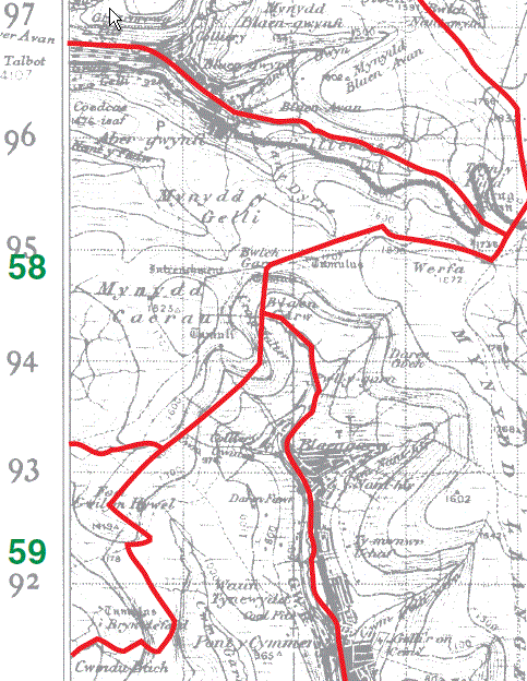
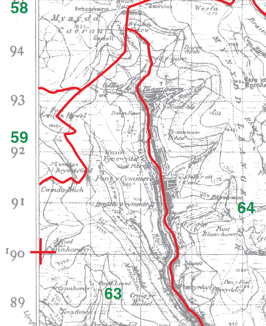
Llangynwyd (Higher) part 58 Llangynwyd (Cwmdu) part 59
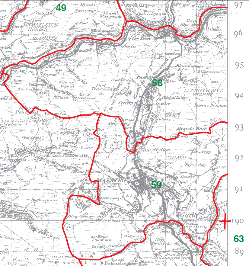
Llangynwyd (Higher) part58 Llangynwyd (Cwmdu) part59
Llangynwyd (Middle) part 60 Llangynwyd (Lower) part61
Bettws Parish Map part 63
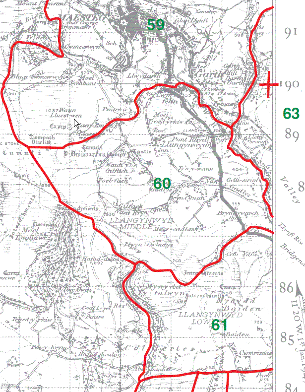
Llangynwyd (Middle) part 60 Llangynwyd (Lower) part61
Bettws Parish Map part 63
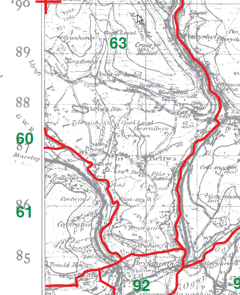
Bettws Parish Map part 63
This map is extracted from:
Kain, R.J.P., Oliver, R.R., Historic Parishes of England and Wales: an Electronic Map of Boundaries before 1850 with a Gazetteer and Metadata [computer file]. Colchester, Essex: History Data Service, UK Data Archive [distributor], 17 May 2001. SN: 4348.
Acknowledgement is made to R.J.P. Kain, R.R Oliver, the Economic and Social Research Council, the History Data Service and the UK Data Archive.
[Last Updated : 16 Nov 2012 - Gareth Hicks]