
Hide
Parish Maps from 'Historic Parishes of England and Wales - Boundaries before 1850'
hide
Hide
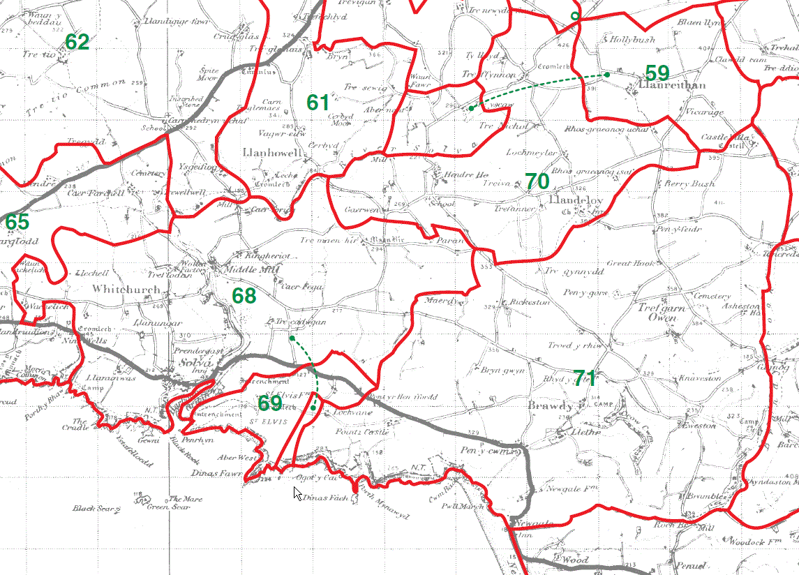
Whitchurch Parish Map 68
St Elvis Parish Map 69
Llandeloy Parish Map 70
Brawdy Parish Map 71
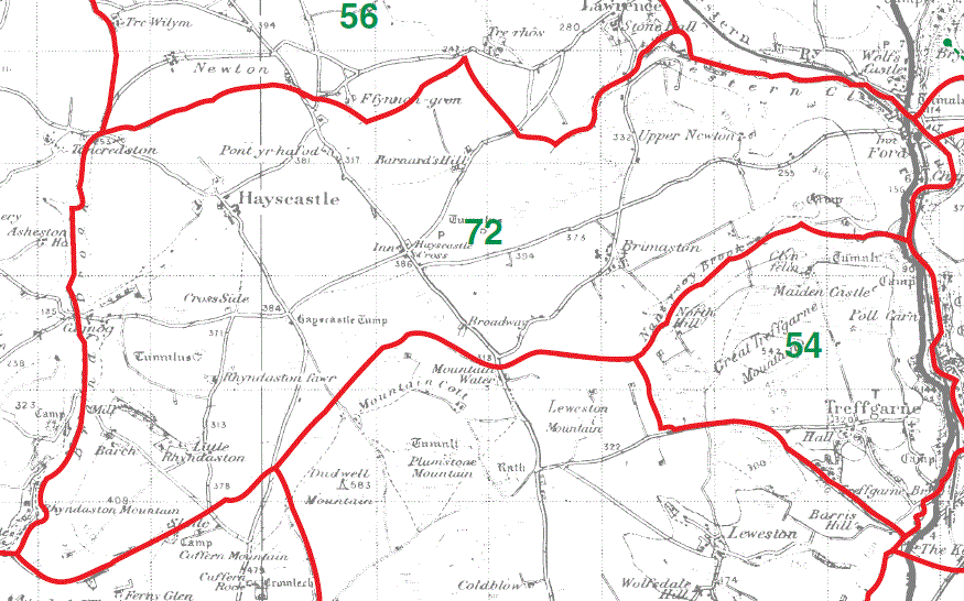
Hayscastle Parish Map 72
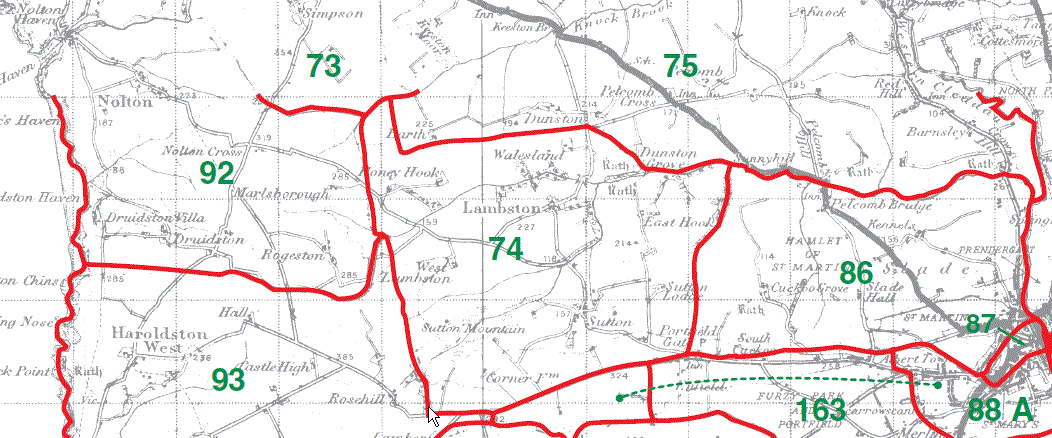
Roch Parish Map part 73
Camrose Parish Map part 75
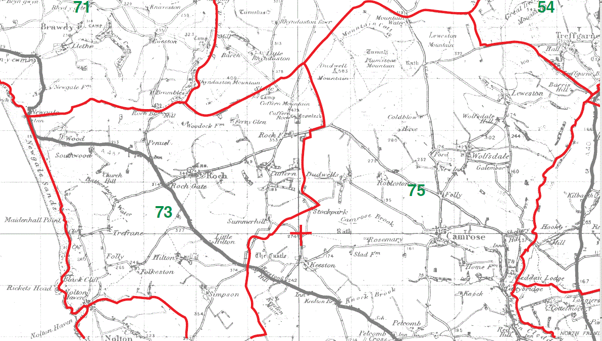
Roch Parish Map part 73
Lambston Parish Map 74
Camrose Parish Map part 75
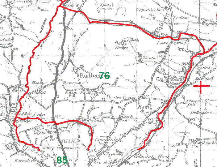
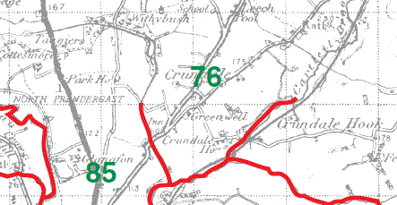
Rudbaxton Parish Map part 76
Rudbaxton Parish Map part 76
This map is extracted from:
Kain, R.J.P., Oliver, R.R., Historic Parishes of England and Wales: an Electronic Map of Boundaries before 1850 with a Gazetteer and Metadata [computer file]. Colchester, Essex: History Data Service, UK Data Archive [distributor], 17 May 2001. SN: 4348.
Acknowledgement is made to R.J.P. Kain, R.R Oliver, the Economic and Social Research Council, the History Data Service and the UK Data Archive.
(Gareth Hicks; 28 Dec 2012)