Hide
Parish Maps from 'Historic Parishes of England and Wales - Boundaries before 1850'
hide
Hide
Llandewi Velfrey Parish Map part 118
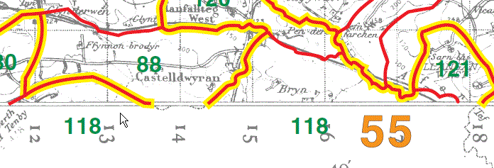
Llandewi Velfrey Parish Map part 118
Lampeter Velfrey Parish Map 122
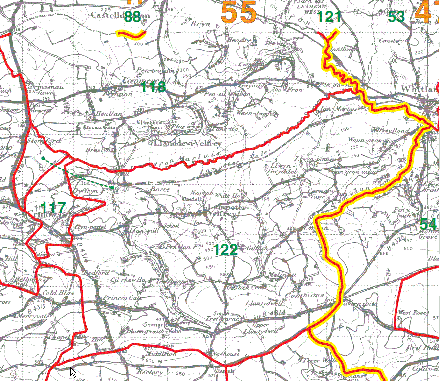
Crunwear Parish Map 123
Ludchurch Parish Map 124
Amroth Parish Map 125
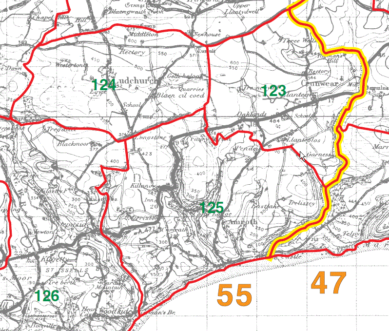
St Issells Parish Map 126
East Williamston Chapelry Map 127
Begelly Parish Map part 128
Reynoldston Parish Map 129
Loveston Parish Map part 130
Jeffreyston Parish Map part 133
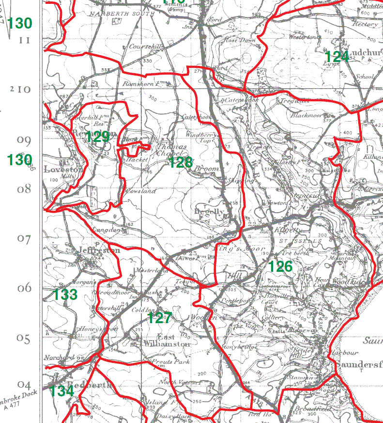
Begelly Parish Map part 128
Loveston Parish Map part 130
Jeffreyston Parish Map part 133
Yerbeston Parish Map 131
Lawrenny Parish Map 132
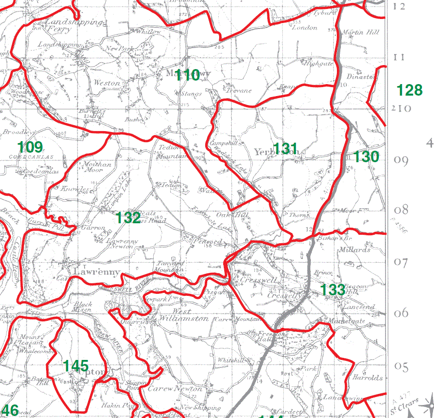
This map is extracted from:
Kain, R.J.P., Oliver, R.R., Historic Parishes of England and Wales: an Electronic Map of Boundaries before 1850 with a Gazetteer and Metadata [computer file]. Colchester, Essex: History Data Service, UK Data Archive [distributor], 17 May 2001. SN: 4348.
Acknowledgement is made to R.J.P. Kain, R.R Oliver, the Economic and Social Research Council, the History Data Service and the UK Data Archive.
[Gareth Hicks: 5 Jan 2013]
