Hide
Caythorpe
hide
Hide
hide
Hide
hide
Hide
Hide
hide
Hide
"FRIESTON, a hamlet in the parish of Caythorpe, wapentake of Loveden, parts of Kesteven, county Lincoln, 9 miles N.W. of Sleaford. An ancient cross formerly stood here."
"FRISTON, a hamlet in the parish of Caythorpe, parts of Kesteven, county Lincoln, 7 miles N.N.E. of Grantham,"
[Transcribed from The National Gazetteer of Great Britain and Ireland 1868]
by Colin Hinson ©2020
Hide
- The parish was in the Claypole sub-district of the Newark Registration District.
- Check our Census Resource page for county-wide resources.
- The table below gives census piece numbers, where known:
| Census Year | Piece No. |
|---|---|
| 1841 | H.O. 107 / 616 |
| 1861 | R.G. 9 / 2482 |
| 1871 | R.G. 10 / 3545 |
| 1891 | R.G. 12 / 2716 |
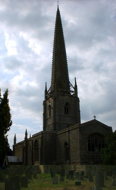
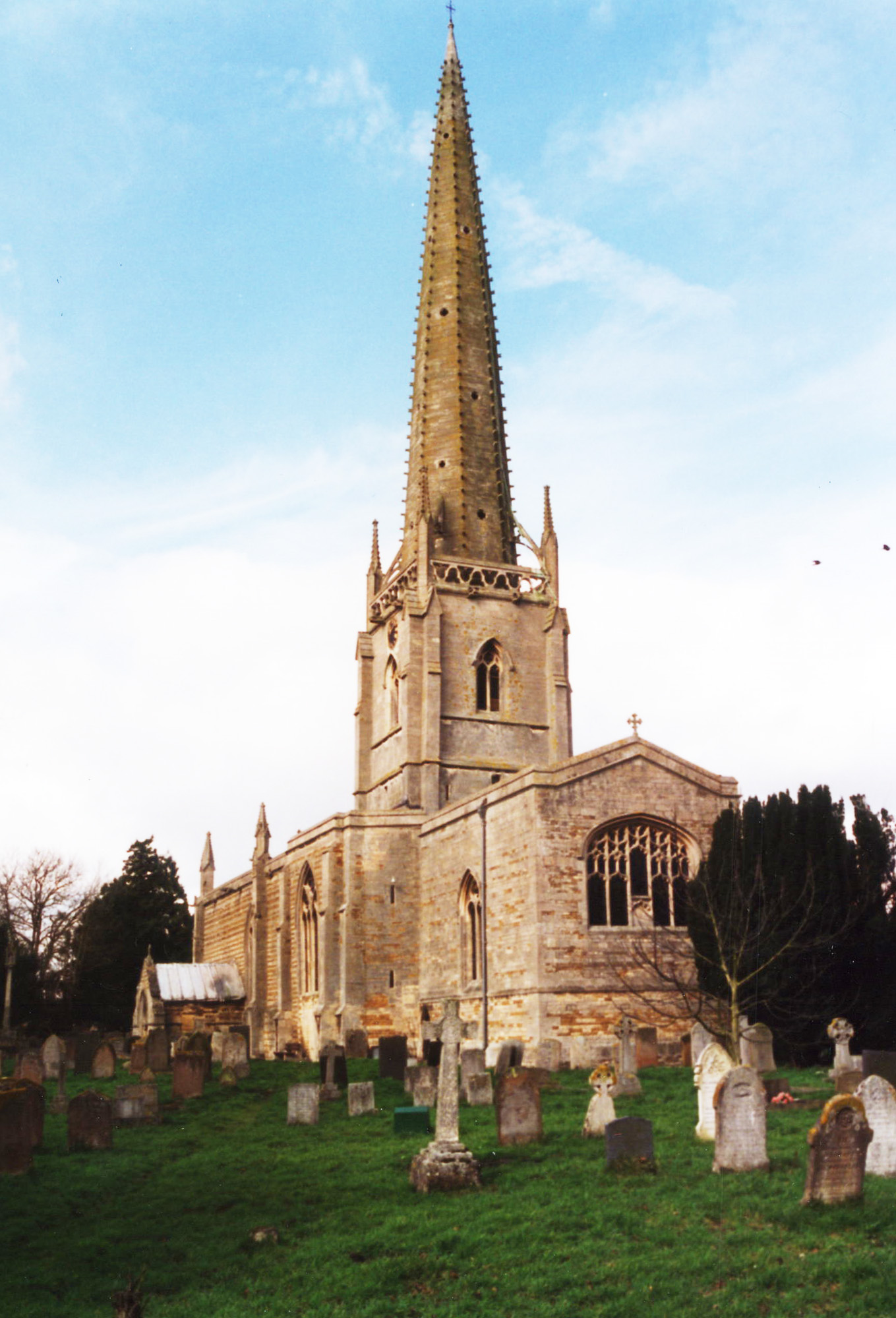
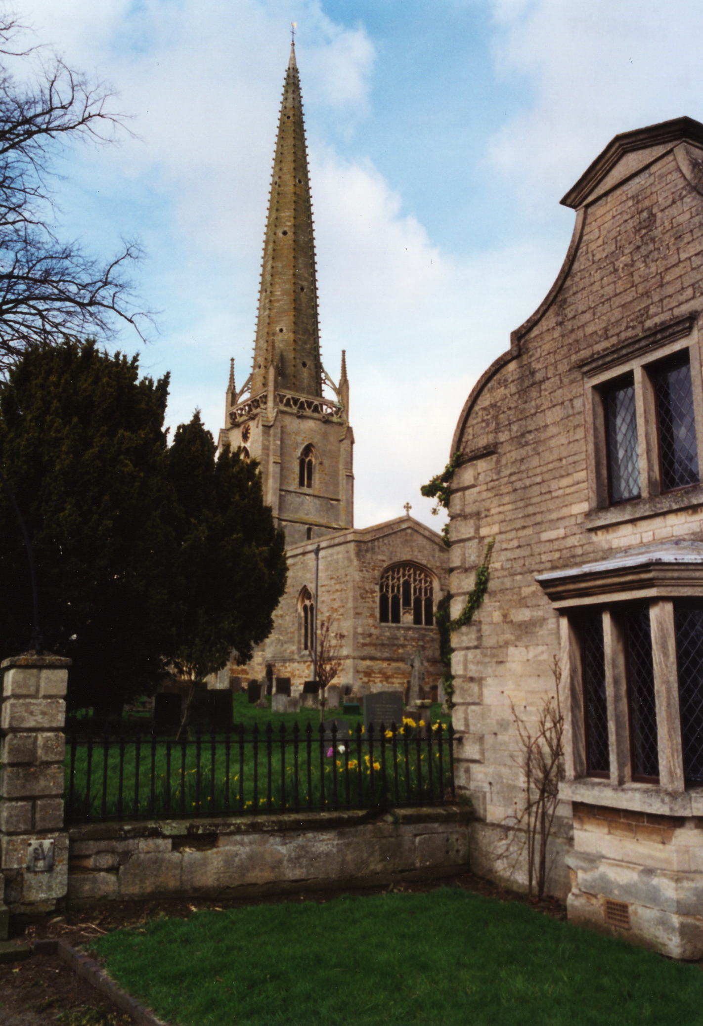
- The Anglican parish church is dedicated to Saint Vincent.
- The church was built in the 14th century of Ancaster Stone.
- The church contains several monuments to the HUSSEY family.
- The church was extensively remodeled in 1861 after lightning struck the spire in 1859, which collapsed onto the chancel roof.
- The church seats 504 people.
- Here is a photo of the church, taken by (and copyright of) Wendy PARKINSON:

- Here are two photos of Saint Vincent Church, taken by Ron COLE (who retains the copyright):


- The Anglican parish register dates from 1663 and includes Frieston. Bishop's transcripts go back to 1562.
- We have some interesting extracts from the parish register.
- The Lincolnshire FHS has a Loan Library service which has the parish registers on microfiche for Baptisms from 1663 to 1811 and Marriages from 1692 to 1812.
- The LFHS has published several marriage indexes for the Loveden Deanery to make your search easier.
- The Wesleyan Methodists had a small chapel in the village, as did the Primitive Methodists in the hamlet of Frieston. For information and assistance in researching these chapels, see our non-conformist religions page.
- Check our Church Records page for county-wide resources.
- The parish was in the Claypole sub-district of the Newark Registration District.
- Check our Civil Registration page for sources and background on Civil Registration which started in July, 1837.
Caythorpe is a parish and village just 10 miles ESE of Newark-on-Trent, 9 miles west of Sleaford and 10 miles north of Grantham. Fulbeck parish lies to the north, with Stubton parish to the west. The parish covers about 4,240 acres. The parish is long on its east-west axis and narrow on the north-south one, extending west to the River Brant and east almost to Ermine Street. The parish includes the hamlet of Frieston 1/2 mile south of the village, pronounced by the locals as "Fryston".
The village of Caythorpe lies on the Cliff range of hills. If you are planning a visit:
- Take the A607 trunk road north out of Grantham. It passes along the eastern edge of the village.
- De Montfort University has a campus at Caythorpe for its School of Agriculture and Horticulture.
- Visit our touring page for more sources.
The National Gazetteer of Great Britain and Ireland - 1868
"FRIESTON, a hamlet in the parish of Caythorpe, wapentake of Loveden, parts of Kesteven, county Lincoln, 9 miles N.W. of Sleaford. An ancient cross formerly stood here."
"FRISTON, a hamlet in the parish of Caythorpe, parts of Kesteven, county Lincoln, 7 miles N.N.E. of Grantham,"
- Ask for a calculation of the distance from Caythorpe to another place.
- Two old Roman roads run through the parish - High Dyke and Pottergate.
- The Caythorpe Fair was held on the second Friday after Good Friday, but was abolished by 1900.
- The Caythorpe Feast was held on the last Sunday in May.
- The village was once a railway station on the Lincoln and Honington branch of the Great Northern Railway.
- Ironstone was mined in the parish. In 1900, three mines were in operation.
- And check the history of the Wapentake at the Loveden Wapentake website.
- The principal landowners in 1871 were George Hussey PACKE, William OSTLER, J. H. ATKIN, Rev. C. D. CROFTS, and the BARNES, BEMROSE, BENNETT, HACKETT, MacKINDER, THURLBY, WILLIAMS and other families.
- Caythorpe Hall, a stone mansion, was built in the classical style between 1824 and 1827 near the site of the old hall. The old hall was the seat of Sir Giles HUSSEY, Knight, who was with the Earl of Surrey at the sacking of Morlaix in France in 1552. A park wall is all that remains of the earlier manor house.
- Friston House was, in 1841, the seat of John CHOWNS.
- See our Maps page for additional resources.
You can see maps centred on OS grid reference SK938485 (Lat/Lon: 53.025574, -0.603647), Caythorpe which are provided by:
- OpenStreetMap
- Google Maps
- StreetMap (Current Ordnance Survey maps)
- Bing (was Multimap)
- Old Maps Online
- National Library of Scotland (Old Ordnance Survey maps)
- Vision of Britain (Click "Historical units & statistics" for administrative areas.)
- English Jurisdictions in 1851 (Unfortunately the LDS have removed the facility to enable us to specify a starting location, you will need to search yourself on their map.)
- Magic (Geographic information) (Click + on map if it doesn't show)
- GeoHack (Links to on-line maps and location specific services.)
- All places within the same township/parish shown on an Openstreetmap map.
- Nearby townships/parishes shown on an Openstreetmap map.
- Nearby places shown on an Openstreetmap map.
- On 12 August 1938 two RAF crewmen were killed when their plane crashed in Caythorpe parish.
- On 12 April 1944 a Short Stirling bomber crashed in Caythorpe parish after being intercepted by a Luftwaffe fighter. The plane crashed at Hill Top farm. Four crew members survived and four died in the crash.
- On 10 February 1945 six men were killed when their plane, from Binbrook, crashed in Caythorpe parish near the railway station. At lest three of the men were Austrailian Air Force members.
- Elements of the 1st Airborne Signals Regiment were based in and around Caythorpe in WWII for training. This regiment participated in the Operation Market Garden battle for the bridges at Arnheim.
- An annual remembrance is held for the men who served and those who were lost at Arnheim.
For a photograph of the Caythorpe War Memorial Plaques and the names on them, see the Roll of Honour site.
- The name Caythorpe is a combination of Old Scandinavian Kati+thorp, for "farmstead of a man called Kati". In the 1086 Domesday Book, the village name is given as Catorp.
["A Dictionary of English Place-Names," A. D. MILLS, Oxford University Press, 1991]
- This place was an ancient parish in Lincolnshire and became a modern Civil Parish when those were established.
- The parish was in the ancient Loveden Wapentake in the South Kesteven division of the county, in the parts of Kesteven.
- You can contact the Caythorpe and Frieston Parish Council regarding civic or political issues, but they are NOT staffed or funded to help you with family history searches.
- For today's district governance, contact the South Kesteven District Council.
- Bastardy cases would be heard in the Sleaford petty session hearings every Monday.
- The common lands on the west side of the parish were enclosed in 1657.
- There was a HUSSEY charity for the poor of the parish, but the date is unknown (prior to 1871). There was also a HATCHER charity to distribute coal to the poor.
- After the Poor Law Amendment Act reforms of 1834, the parish became part of the Newark Poor Law Union in 1837.
- A small parish school was built by Mr. PACKE in 1839.
- The Public Elementary School was built in 1875 and enlarged in 1894 and 1900, ultimately to seat 150 children.
- For more on researching school records, see our Schools Research page.
