
Hide
Culter, Church of Scotland
hide
Hide
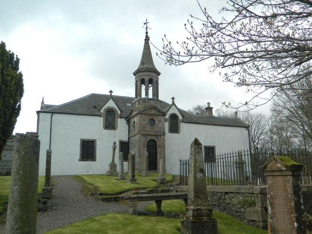
Culter Parish Church, Lanarkshire
© Copyright John Lord and licensed for reuse under this Creative Commons Licence.
Hide
Church of Scotland,
Culter
Hide
Culter Parish Church, Coulter - The map and the cemetery use the spelling Coulter; the church and the War Memorial use the spelling Culter.
It is located at NT0279934151 (Lat/Lon 55.591253, -3.543855). You can see this on maps provided by:
- OpenStreetMap
- Google Maps
- StreetMap (Current Ordnance Survey maps)
- Bing (was Multimap)
- Old Maps Online
- National Library of Scotland (Old Ordnance Survey maps)
- Vision of Britain (Click "Historical units & statistics" for administrative areas.)
- Magic (Geographic information) (Click + on map if it doesn't show)
- GeoHack (Links to on-line maps and location specific services.)