Hide
Hannah cum Hagnaby
hide
Hide
hide
Hide
hide
Hide
Hide
"HAGNABY, a hamlet in the parish of Hannah, Wold division of the hundred of Calceworth, parts of Lindsey, county Lincoln, 3 miles N.E. of Alford. It is situated near the sea-coast."
[Transcribed from The National Gazetteer of Great Britain and Ireland 1868]
by Colin Hinson ©2020
Hide
The Community Library at Alford has a local history archive that will prove useful in your research.
| St Andrew, Hannah, Church of England |
- The parish was in the Withern sub-district of the Louth Registration District.
- Check our Census Resource page for county-wide resources.
- The table below gives census piece numbers, where known:
Census
YearPiece No. 1841 H.O. 107 / 636 1851 H.O. 107 / 2111 1861 R.G. 9 / 2379 1871 R.G. 10 / 3399 1891 R.G. 12 / 2606
- In 1175, a Premonstratensian Abbey was founded by Herbert de ORREBY in the hamlet of Hagnaby. All the buildings were gone by the 1800s.
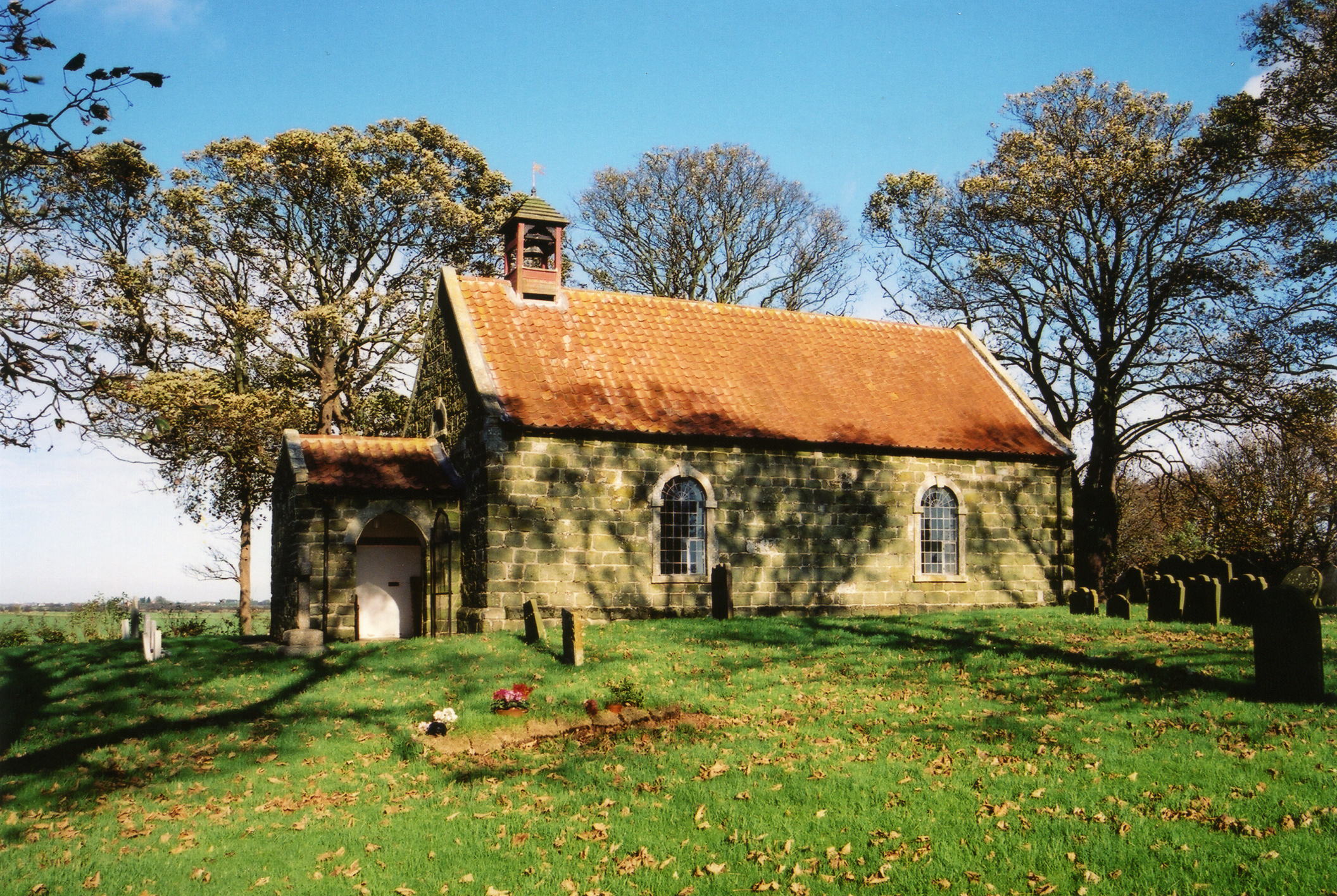
- The Anglican parish church is dedicated to Saint Andrew and located in Hannah.
- The church is a small brick building with a wooden belfry. It is in the "Early English" style.
- The church seats 100.
- There is a photograph of St. Andrew's Church on the Wendy PARKINSON Church Photos web site.
- Here is a photo of St. Andrew's Church, taken by Ron COLE (who retains the copyright):

- The Anglican parish register dates from 1559.
- The Lincolnshire FHS has published several marriage indexes and a burial index for the Calcewaith and Candleshoe Deanery to make your search easier.
- Both the Western Methodists and the Primitive Methodists had chapels here.
- Check our Church Records page for county-wide resources.
- The parish was in the Withern sub-district of the Louth Registration District.
- Check our Civil Registration page for sources and background on Civil Registration which began in July, 1837.
Hannah is a parish containing two small hamlets; Hannah and Hagnaby. The parish lies about 4 miles north-east of Alford, 2.5 miles from the North Sea and 15 miles south-east of Louth. The parish covers about 1,000 acres.
If you are planning a visit, see:
- See our touring page for visitor services.
The National Gazetteer of Great Britain and Ireland - 1868
"HAGNABY, a hamlet in the parish of Hannah, Wold division of the hundred of Calceworth, parts of Lindsey, county Lincoln, 3 miles N.E. of Alford. It is situated near the sea-coast."
- Ask for a calculation of the distance from Hannah cum Hagnaby to another place.
- See our Maps page for additional resources.
You can see maps centred on OS grid reference TF500791 (Lat/Lon: 53.287846, 0.248995), Hannah cum Hagnaby which are provided by:
- OpenStreetMap
- Google Maps
- StreetMap (Current Ordnance Survey maps)
- Bing (was Multimap)
- Old Maps Online
- National Library of Scotland (Old Ordnance Survey maps)
- Vision of Britain (Click "Historical units & statistics" for administrative areas.)
- English Jurisdictions in 1851 (Unfortunately the LDS have removed the facility to enable us to specify a starting location, you will need to search yourself on their map.)
- Magic (Geographic information) (Click + on map if it doesn't show)
- GeoHack (Links to on-line maps and location specific services.)
- All places within the same township/parish shown on an Openstreetmap map.
- Nearby townships/parishes shown on an Openstreetmap map.
- Nearby places shown on an Openstreetmap map.
- This place was an ancient parish in Lincolnshire and became a modern Civil Parish when those were established.
- The parish was in the Wold division of the ancient Calceworth Wapentake in the East Lindsey district in the parts of Lindsey.
- For today's district governance, see the East Lindsey District Council.
- Bastardy cases would be heard in the Alford petty sessional hearings on alternate Tuesdays.
- Richard BOWIS gave the parish £22 and the overseers used the annual interest to distribute bread to the poor.
- After the Poor Law Amendment Act of 1834, this parish became part of the Louth Poor Law Union.
- The children of this parish attended school in nearby Markby parish.
- For more on researching school records, see our Schools Research page.
